

An unmanned aerial vehicle is changing the way people across Acadiana see their homes, businesses, and job sites. Better known as a drone, this remotely piloted aircraft captures high-resolution photos and video from angles that are simply impossible to get from the ground. At Acadiana SkyShots, based in New Iberia, Louisiana, we use professional drone-based aerial photography and videography to help real estate agents, builders, insurance agents, and homeowners showcase and inspect what matters most. In addition, this guide walks through what an unmanned aerial vehicle actually is, how it is used across different industries, and how to prepare for your own aerial photo session.
What Is an Unmanned Aerial Vehicle?
An unmanned aerial vehicle (UAV) is a remotely piloted or self-guided aircraft that flies without a human pilot physically on board. It is commonly known as a drone, and it typically carries a camera, sensor, or other payload to capture data from the air. As a result, UAVs have become a practical tool for photography, inspections, mapping, and monitoring across many industries.
Technically speaking, "unmanned" simply means there is no pilot inside the aircraft itself. Instead, a trained operator controls the vehicle from the ground using a remote controller and a live video feed. According to the Federal Aviation Administration (FAA), UAVs flown commercially in the United States must be operated under Part 107 rules, which require a licensed remote pilot. Specifically, these rules cover altitude limits, airspace authorization, and safety requirements designed to protect people and property below. The FAA has also reported hundreds of thousands of registered drones nationwide, a figure that continues to climb each year as commercial use expands. For a deeper technical overview, Wikipedia's entry on unmanned aerial vehicles offers additional background on how the technology evolved from military use into everyday commercial applications, and you can also learn more directly from Acadiana SkyShots about how the technology is applied locally.
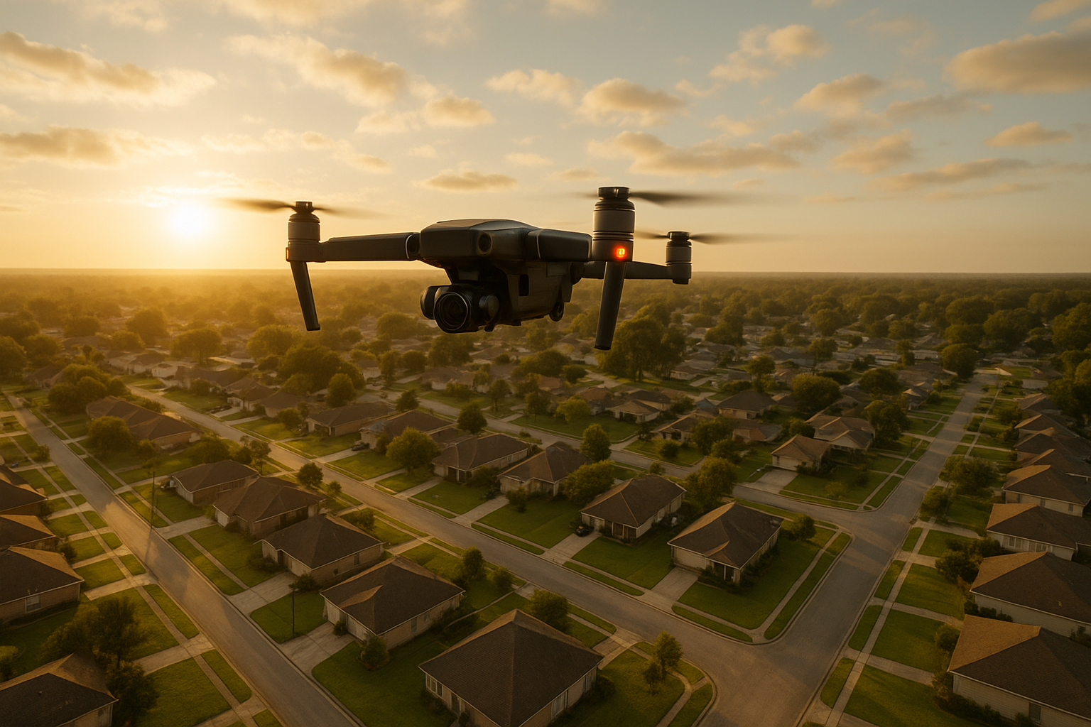
An unmanned aerial vehicle captures sweeping views that ground-level photography simply cannot match.
How Aerial Drones Are Transforming Real Estate Marketing
For real estate agents across Lafayette, New Iberia, and Broussard, listing photos make the first impression. However, ground-level photos cannot show a property's lot size, roofline, or proximity to nearby amenities. An unmanned aerial vehicle solves this by capturing sweeping establishing shots, twilight photos, and video walkthroughs that highlight a home's full footprint. In fact, Acadiana SkyShots offers a realtor-specific program that invites eligible agents to request a free aerial photo shoot, making it easy to see the difference aerial imagery makes on a listing.
For agents who want a closer look at our local real estate work, our aerial drone photography services page outlines what a typical shoot includes. Similarly, if you want a deeper technical breakdown of camera gear and shot types worth requesting, our guide to the best drone options for real estate photography covers the details.
Unmanned Aerial Vehicle Technology for Aerial Inspections
Beyond marketing, an unmanned aerial vehicle is also a practical inspection tool. Roofing companies, insurance agents, and property owners often need to document roof damage, wear, or storm impact without the cost and risk of a ladder or lift. Consequently, a drone can capture close-up, high-resolution imagery of rooftops, gutters, chimneys, and hard-to-reach structural areas in a fraction of the time a manual inspection would take.
Acadiana SkyShots' aerial inspection services emphasize minimizing operational disruption, reducing reliance on heavy equipment, and improving safety while still delivering usable visual data for claims, maintenance planning, or due diligence. For property owners curious about the process, our aerial inspections page outlines what to expect from scheduling through delivery of images.
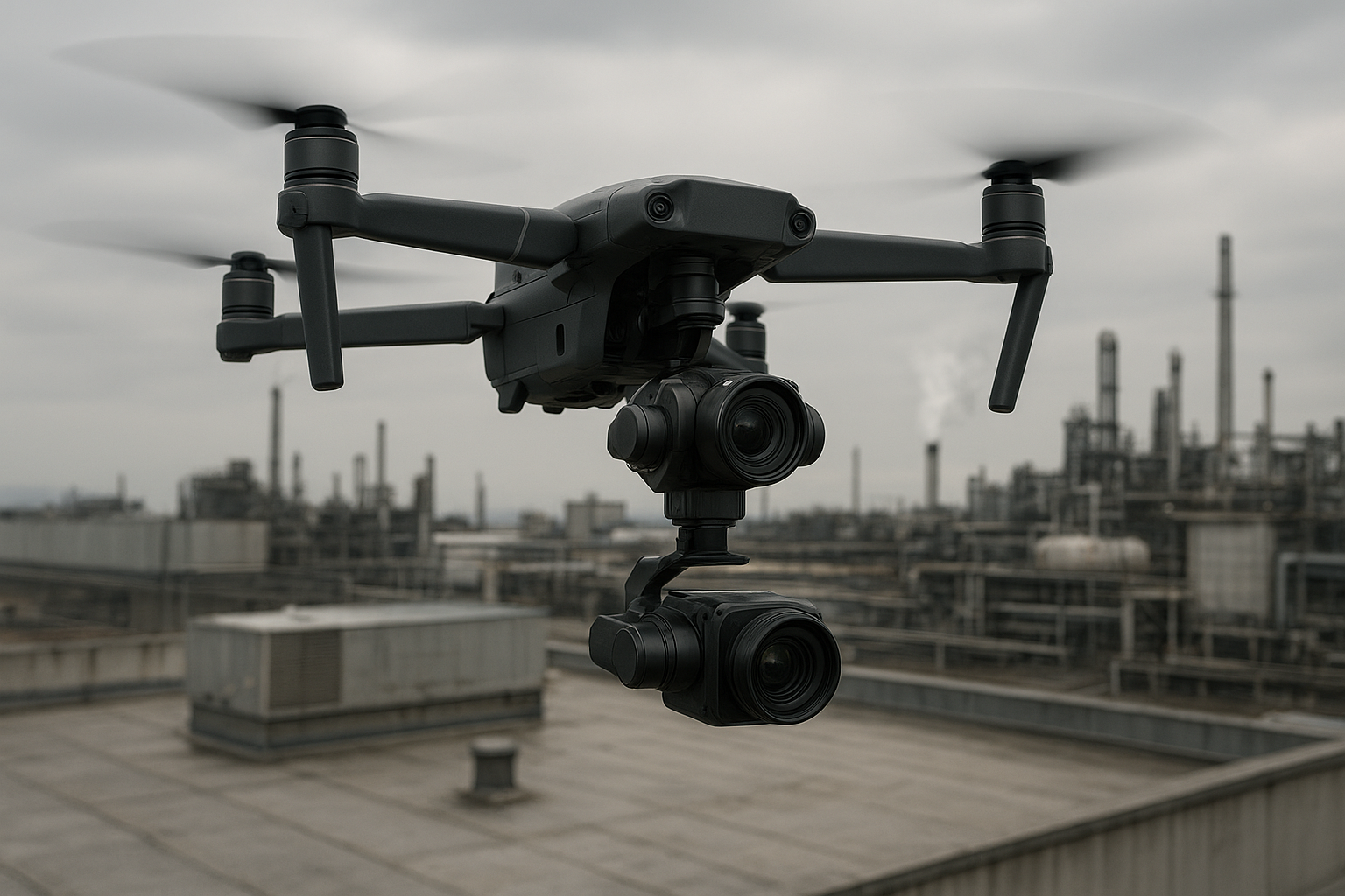
Rooftop inspections benefit from drone access to hard-to-reach areas without ladders or lifts.
Construction Monitoring and Surveying With Aerial Vehicles
Builders and project managers face a similar challenge: tracking progress across a large site without walking every corner every week. In particular, an aerial vehicle equipped with a camera can document construction phases, material stockpiles, and site layout from a single flight. Acadiana SkyShots' construction support services include project monitoring, safety and inventory visibility, and surveying, which together give builders a clearer picture of where a job stands.
Furthermore, having a dated visual record can help resolve disputes, support progress billing, and keep stakeholders aligned on the timeline. For a broader look at how drones apply to different projects and typical pricing, our aerial photography drone guide covers costs, uses, and practical planning tips. You can also read about local drone camera services on our Acadiana property owner resource.
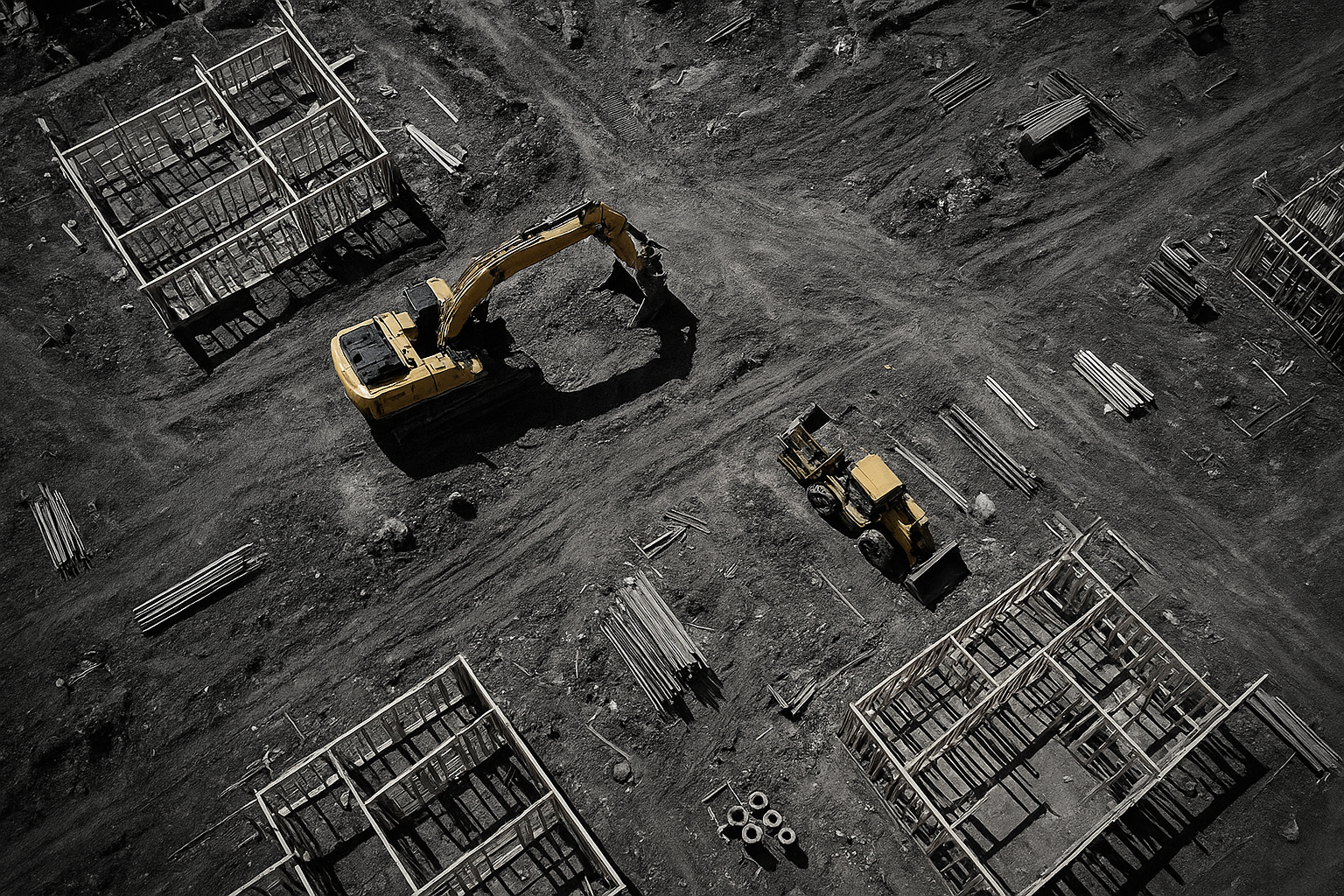
An unmanned aerial vehicle documents construction progress from a consistent, repeatable vantage point.
How to Prepare for Your First Unmanned Aerial Vehicle Photo Session
Getting ready for a drone shoot does not have to be complicated. Above all, a little preparation goes a long way toward a smooth flight and strong results. Here is the process, step by step:
- Define your goals and property type. Decide whether you need real estate marketing photos, an inspection, or construction progress documentation so the operator can plan the right flight path and shot list.
- Check property size and airspace considerations. Share the property address and any known restrictions, such as proximity to an airport, so your provider can confirm the flight is authorized before the shoot date.
- Schedule a free consultation. Call to discuss your timeline, budget, and desired deliverables so both sides understand turnaround time and pricing before any flight is booked.
- Prepare the site for flight day. Move vehicles, trim overgrown landscaping, and clear clutter from the area you want featured so the finished images look their best.
- Review your deliverables and ask questions. Once images and video are delivered, review them promptly and ask for adjustments or additional angles if something important was missed.
Choosing the Right Drone Service Provider in the Acadiana Area
Not every drone operator offers the same level of service, insurance, or experience. Above all, look for a provider who is transparent about pricing, turnaround time, and licensing. Acadiana SkyShots serves Lafayette, New Iberia, Broussard, Patterson, Lake Charles, Jennings, Morgan City, Eunice, Opelousas, Sunset, Alexandria, and Baton Rouge, and is a member of the Sky Eye Network, a group connected to broader industry standards and resources.
Similarly, it is worth asking how a provider handles weather delays, file delivery, and revisions, since these details affect the overall experience as much as the final images. Whether the project is a real estate listing, a wedding, an independent film, or a hotel and resort shoot, the same standards apply. To see current service offerings and coverage areas, visit Acadiana SkyShots directly or call (337) 352-6234 to speak with the team.
Ready to see your property from a new perspective?
Call (337) 352-6234 to schedule your free consultation with Acadiana SkyShots in New Iberia, Louisiana.
Frequently Asked Questions About Unmanned Aerial Vehicles
What is an unmanned aerial vehicle?
An unmanned aerial vehicle is a remotely piloted or self-guided aircraft that captures photos, video, or data without a pilot on board. It is commonly called a drone and is used for photography, inspections, and mapping.
How much does hiring an unmanned aerial vehicle photographer cost in Acadiana?
Pricing depends on the scope of the project, such as whether you need a single real estate photo package or an ongoing construction monitoring schedule. Because costs vary by service type and location, a free consultation is the best way to get an accurate quote.
How long does a typical aerial photography session take?
Most residential real estate sessions take between 30 and 60 minutes on site, depending on property size and the number of shots requested. Larger commercial or construction sites may require additional flight time to cover the full area.
What is the difference between a drone and an unmanned aerial vehicle?
In everyday use, drone and unmanned aerial vehicle refer to the same type of aircraft. Technically, UAV is the broader engineering term, while drone is the popular name most people use in conversation.
Do unmanned aerial vehicle operators need a license in Louisiana?
Yes, commercial drone operators in the United States, including Louisiana, must hold an FAA Part 107 remote pilot certificate to legally fly for business purposes. This requirement helps ensure operators understand airspace rules and safety procedures.
What common mistakes should I avoid when hiring a drone service?
One common mistake is hiring an uninsured or unlicensed operator, which can create liability issues if something goes wrong. Another is failing to clarify turnaround time and file formats before the shoot, which can lead to delays or unusable deliverables.
Can an unmanned aerial vehicle be used for construction site monitoring?
Yes, an unmanned aerial vehicle can document construction progress, material stockpiles, and overall site layout from repeatable vantage points. This makes it easier for builders to track timelines and share visual updates with clients or stakeholders.
How does aerial inspection with a drone reduce costs for property owners?
Aerial inspections can reduce the need for ladders, lifts, or scaffolding, which lowers labor time and equipment rental costs. In addition, drone imagery often speeds up insurance claims and maintenance decisions by providing clear visual documentation faster.
What areas does Acadiana SkyShots serve with unmanned aerial vehicle services?
Acadiana SkyShots serves New Iberia and the broader Acadiana area, including Lafayette, Broussard, Patterson, Lake Charles, Jennings, Morgan City, Eunice, Opelousas, Sunset, Alexandria, and Baton Rouge. Additional service areas may be considered depending on the project.
What is SceneScape 360 and how does it use drone technology?
SceneScape 360 uses aerial and immersive imagery to give viewers a fuller sense of a property or location. It pairs well with real estate listings, hotels, and resorts that want an interactive viewing experience.
How far in advance should I book an unmanned aerial vehicle photo shoot?
It is best to book at least a few days to a week ahead, especially during busy real estate or construction seasons. However, reaching out early also allows time to work around weather and scheduling conflicts.
What weather conditions affect drone flights?
Wind, rain, and low visibility can all delay or cancel a scheduled drone flight for safety reasons. Consequently, providers often build flexibility into scheduling so a shoot can be rescheduled quickly when weather does not cooperate.
Are unmanned aerial vehicle photos better than ground-level real estate photos?
Aerial photos are not a replacement for ground-level images; rather, they complement them by showing scale, layout, and surroundings that ground photography cannot capture. Together, the two perspectives typically create a more complete marketing package.
What should I expect during a free consultation?
During a free consultation, you will discuss your goals, property details, timeline, and budget with the team. This conversation helps determine the right service package, whether that is real estate photography, an inspection, or construction support.
Final Thoughts
An unmanned aerial vehicle has become a genuinely practical tool for Acadiana's real estate agents, builders, roofing companies, insurance agents, and homeowners who want to see their properties and projects from a new angle. Whether you need aerial real estate photography, an inspection, construction monitoring, or footage for a wedding or independent film, Acadiana SkyShots is ready to help across New Iberia and the wider Acadiana area. Above all, choosing an experienced, licensed operator makes the difference between usable results and a wasted flight. Call (337) 352-6234 today to schedule your free consultation and find out how an unmanned aerial vehicle can support your next project.


