

Finding the best drone for real estate photography matters whether you are an agent shooting your own listings or a homeowner comparing options before hiring a professional. The right equipment, paired with skilled piloting, turns an ordinary listing into one that grabs attention online. This guide breaks down what actually makes a drone camera "the best" for property marketing, and why many agents in the Acadiana Area in Louisiana ultimately choose to hire a specialist instead of buying gear themselves.
Quick answer: The best drone for real estate photography combines a stabilized gimbal, a large image sensor, 4K video, and obstacle-avoidance sensors. However, for most sellers and agents, hiring a licensed aerial photography service like Acadiana SkyShots delivers better, faster, and more compliant results than buying and learning a drone from scratch.
What Is the Best Drone for Real Estate Photography?
The best drone for real estate photography is a commercial-grade aircraft with a stabilized camera, strong dynamic range, and precise flight controls. Consequently, it captures crisp, well-exposed images even in tricky lighting, such as a bright sky above a shaded front porch.
In addition to hardware, the "best" choice depends on the pilot's skill. A high-end drone in inexperienced hands still produces shaky, poorly composed shots. That is why real estate professionals often weigh camera specs and piloting experience together rather than focusing on gear alone.
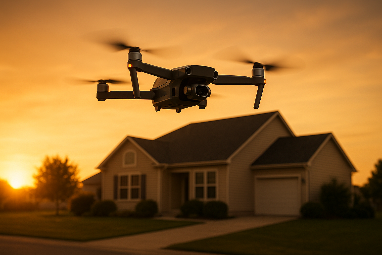
A well-equipped drone captures listing photos at golden hour, a key factor in choosing the best drone for real estate photography.
Top Features of a Great Real Estate Drone Camera
Several features separate a listing-ready drone from a casual hobby model. Specifically, agents and sellers should look for these characteristics when evaluating equipment or a service provider's gear.
- Stabilized 3-axis gimbal: Keeps footage smooth even in light wind.
- Large sensor size: Improves low-light performance for interior-adjacent exterior shots.
- 4K video and RAW photo capture: Preserves detail for cropping and print marketing.
- Obstacle avoidance sensors: Reduces risk near trees, power lines, and structures.
- Long battery life: Allows multiple angles without interrupting the shoot.
Furthermore, according to data referenced by the National Association of Realtors, listings that include high-quality visual media, including aerial photos and video, tend to generate significantly more online engagement than listings without them. That single statistic explains why so many agents now budget for professional drone photography as a standard marketing expense.
DIY Real Estate Drone Photography vs. Hiring a Pro
Buying a drone might seem like the cheaper option at first glance. However, the total cost of ownership, including licensing, insurance, editing software, and the learning curve, often outweighs the upfront savings.
In contrast, hiring a professional aerial real estate photography team means the equipment, compliance, and editing are already handled. Acadiana SkyShots, for example, provides aerial real estate photography tailored to how listings are marketed and sold, rather than generic drone footage.
Similarly, agents who need more than still photos can add immersive tours through SceneScape 360, giving buyers an interactive way to explore a property before scheduling a showing.
FAA Rules Every Real Estate Drone Photographer Must Follow
Commercial drone flights, including real estate photography, fall under Federal Aviation Administration rules. Specifically, the operator must hold a Part 107 Remote Pilot Certificate and follow airspace restrictions near airports and other controlled zones, as outlined by the FAA's drone program.
Because of this, an agent or homeowner flying an unlicensed drone for a paid listing shoot technically violates federal regulations. As a result, working with a certified operator protects both the seller and the agent from potential liability.
Beyond licensing, drones themselves are a broader category of technology known as unmanned aerial vehicles, or UAVs, as detailed on Wikipedia's UAV overview. Understanding this context helps explain why regulation exists in the first place: safety around people, property, and other aircraft.
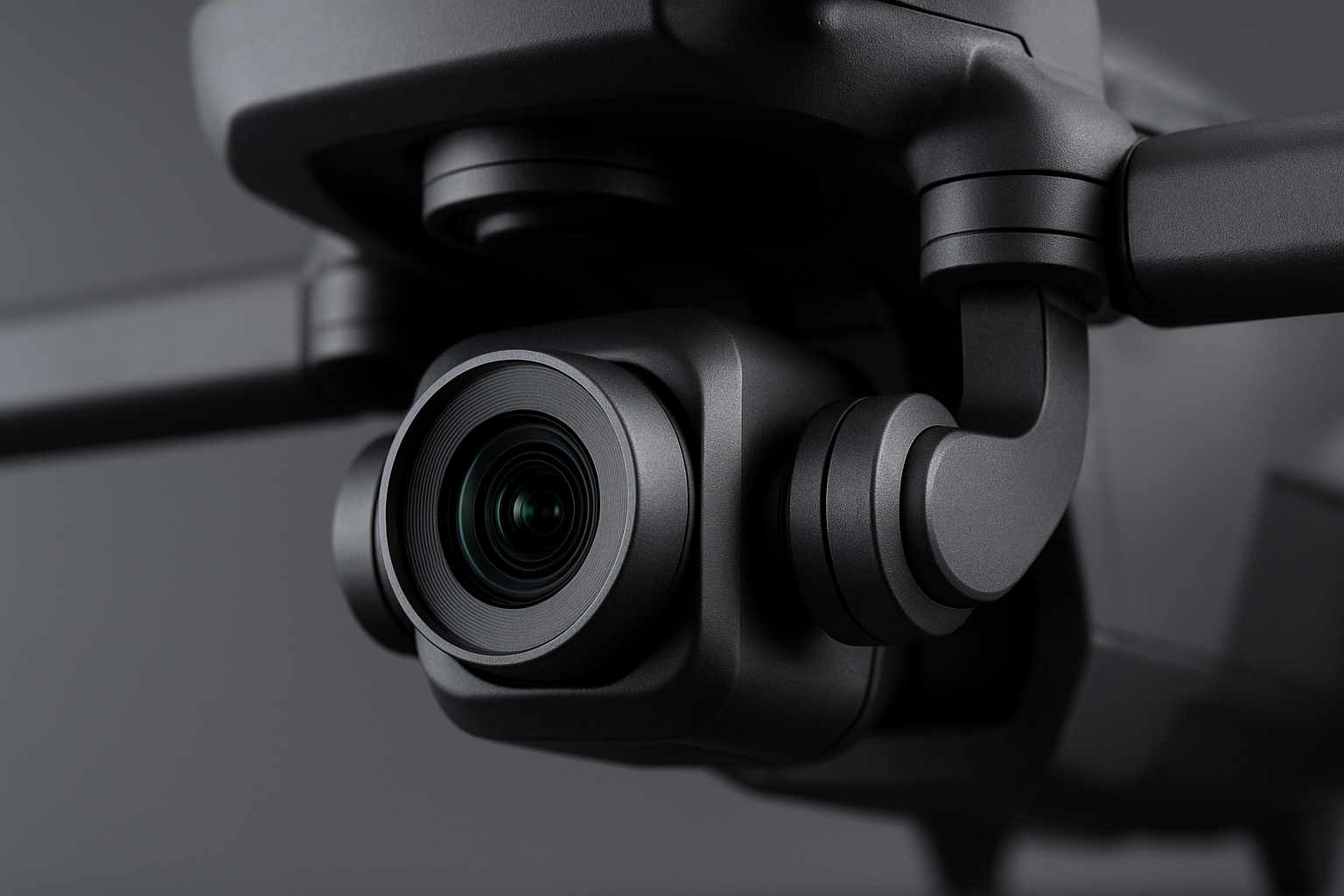
A stabilized gimbal is one of the most important features when evaluating equipment for real estate drone photography.
Why Acadiana SkyShots Is Your Best Option in the Acadiana Area
Acadiana SkyShots is a professional drone photography and videography business based in New Iberia, Louisiana, serving real estate agents, builders, business owners, and homeowners throughout the region. Rather than asking clients to research the best drone for real estate photography themselves, the company handles equipment, licensing, and editing from start to finish.
Moreover, the company is a member of the Sky Eye Network, and its services extend beyond listings to aerial inspections, construction monitoring, surveying, and imagery for hotels and resorts. This range means a single trusted provider can support an agent's listing today and a builder's project monitoring next month.
Realtors specifically can request a free aerial photo shoot as part of an eligible offer, while any client can start with a free consultation to discuss goals, timeline, and pricing. To see example results before booking, browsing the portfolio of past work is a helpful next step.
How to Prepare Your Property for an Aerial Real Estate Photography Shoot
Preparation makes a noticeable difference in the final images, regardless of which drone or operator is used. Therefore, following a short checklist before the pilot arrives helps ensure the shoot goes smoothly.
- Tidy the exterior and yard. Mow the lawn, move vehicles off the driveway, and clear visible clutter so the property photographs cleanly from above.
- Check the roof and gutters. Aerial angles reveal roof condition and debris that ground-level photos typically miss, so clearing them in advance avoids distracting flaws.
- Confirm the shoot schedule. Coordinate timing with the photographer to capture soft, flattering light, since midday sun often creates harsh shadows on rooftops.
- Secure pets and notify neighbors. Keep pets indoors during the flight, and give nearby neighbors a heads-up that a drone will briefly operate overhead.
For a more detailed walkthrough, the home preparation guide covers additional staging tips specific to aerial shoots.
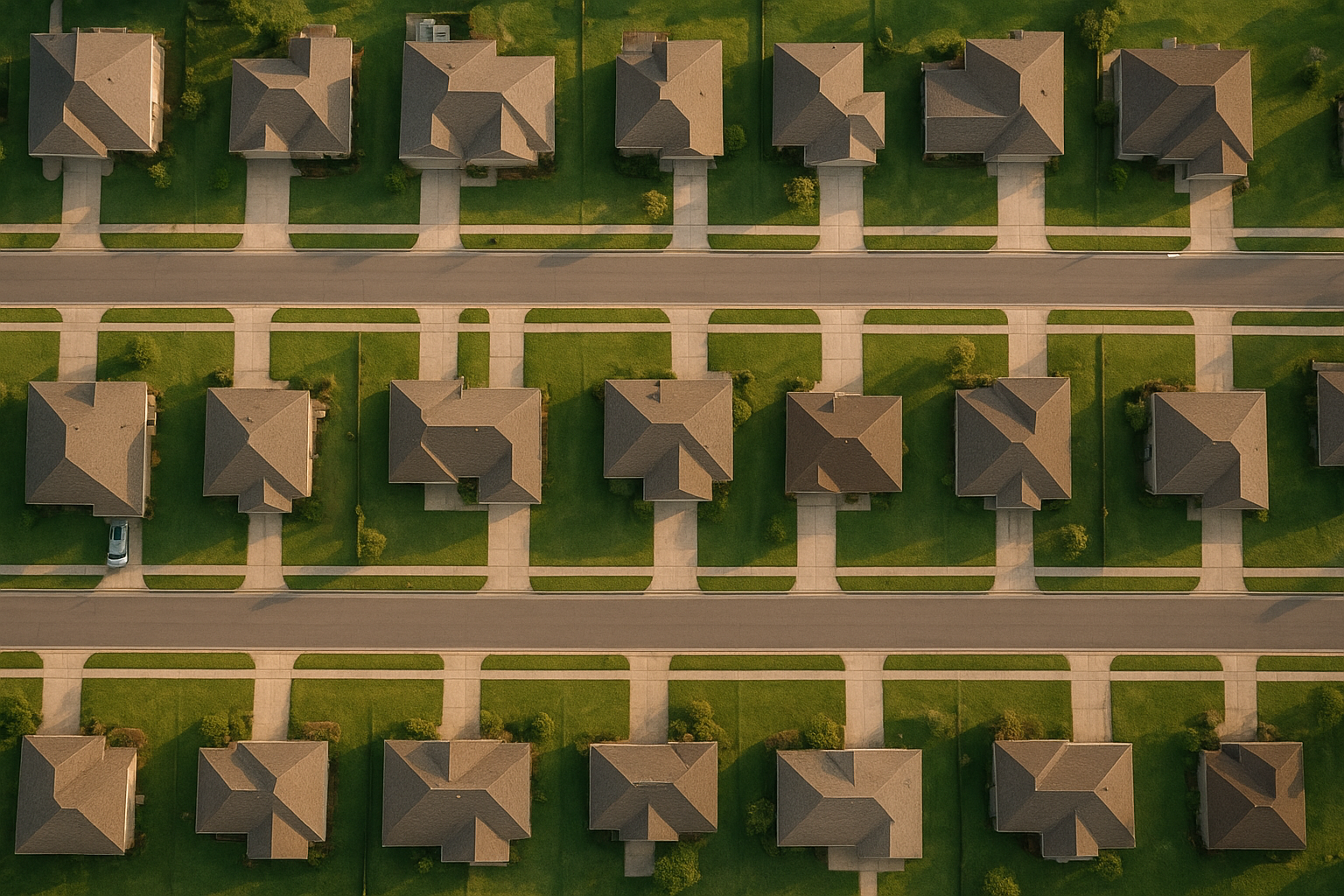
Well-prepared properties photograph best from above, which is why preparation matters as much as choosing the right equipment.
Frequently Asked Questions About the Best Drone for Real Estate Photography
What is the best drone for real estate photography?
The best drone for real estate photography combines a stabilized gimbal, a high-resolution camera capable of RAW or 4K capture, and reliable obstacle avoidance. Professional operators generally choose commercial-grade aircraft rather than basic consumer models for this reason.
How much does professional real estate drone photography cost?
Pricing depends on property size, the number of shots requested, and whether video or SceneScape 360 tours are included. A free consultation with Acadiana SkyShots provides an exact quote tailored to the specific project.
How long does an aerial real estate photo shoot take?
Most residential shoots take 30 to 60 minutes on-site, depending on lot size and the number of angles needed. Larger commercial or construction sites may require additional time to document fully.
What camera resolution do I need for real estate drone photos?
For MLS listings and marketing materials, 12 to 20 megapixel stills combined with 4K video typically provide enough detail for both web and print use. Higher resolution also helps when images need to be cropped or enlarged later.
Do I need a license to fly a drone for real estate listings?
Yes, commercial drone flights in the United States, including real estate marketing, require an FAA Part 107 Remote Pilot Certificate. Hiring a licensed operator removes this compliance responsibility from the agent or seller.
Can I use my phone-camera drone instead of hiring a professional?
Consumer drones can capture casual footage, but they often lack the dynamic range and stabilization that listing photos require. A professional service also understands flight planning, lighting timing, and local airspace rules.
What is the difference between aerial photography and aerial videography for real estate?
Aerial photography captures still images that highlight lot lines, roof condition, and nearby amenities, while aerial videography adds motion for virtual walkthroughs and social sharing. Many listings benefit from using both formats together.
How does weather affect drone real estate photography?
Wind, rain, and overcast skies can all impact image quality and flight safety. Experienced pilots monitor forecasts closely and reschedule shoots when conditions could compromise the footage.
What is SceneScape 360 and how does it help real estate listings?
SceneScape 360 is an immersive aerial tour format that lets viewers interactively explore a property and its surroundings. It gives prospective buyers a stronger sense of scale and location before scheduling an in-person visit.
What common mistakes hurt real estate drone photos?
Common mistakes include flying at the wrong time of day, skipping property staging, and relying on low-resolution consumer equipment. Ignoring FAA compliance is another costly error that can lead to fines.
Why should realtors hire a professional instead of buying their own drone?
Professionals bring licensing, insurance, editing expertise, and consistent quality without the learning curve or equipment expense. As a result, agents can focus on selling while the visuals are handled reliably.
What areas does Acadiana SkyShots serve for real estate drone photography?
Acadiana SkyShots serves New Iberia, Lafayette, Broussard, Patterson, Lake Charles, Jennings, Morgan City, Eunice, Opelousas, Sunset, Alexandria, and Baton Rouge, Louisiana. Additional areas may be considered depending on the specific project.
Final Thoughts
Choosing the best drone for real estate photography ultimately comes down to camera quality, stabilization, and, above all, the skill of the pilot behind the controls. While researching gear is useful, most agents, builders, and homeowners in the Acadiana Area find greater value in partnering with a licensed professional who already owns the right equipment and understands FAA compliance.
Acadiana SkyShots offers aerial photography and videography, aerial inspections, aerial real estate photography, and aerial construction support from its base in New Iberia, Louisiana. Whether the goal is a faster listing sale, clearer construction progress updates, or standout marketing for a hotel or resort, a free consultation is the simplest way to get started. Visit Acadiana SkyShots or call (337) 352-6234 to discuss your project and timeline today.


