

Aerial photography drone services turn a simple property, jobsite, or event into a story told from above, and that shift in perspective is exactly why so many businesses across the Acadiana area now call in a licensed drone operator before a big sale, inspection, or celebration. Whether you need sweeping real estate shots, construction progress documentation, or wedding footage that feels cinematic, understanding how aerial photography drone technology works helps you get better results and avoid costly mistakes. This guide walks through what an aerial photography drone actually does, how sessions unfold, what they cost, and how to pick the right provider near Lafayette, New Iberia, and the surrounding parishes.
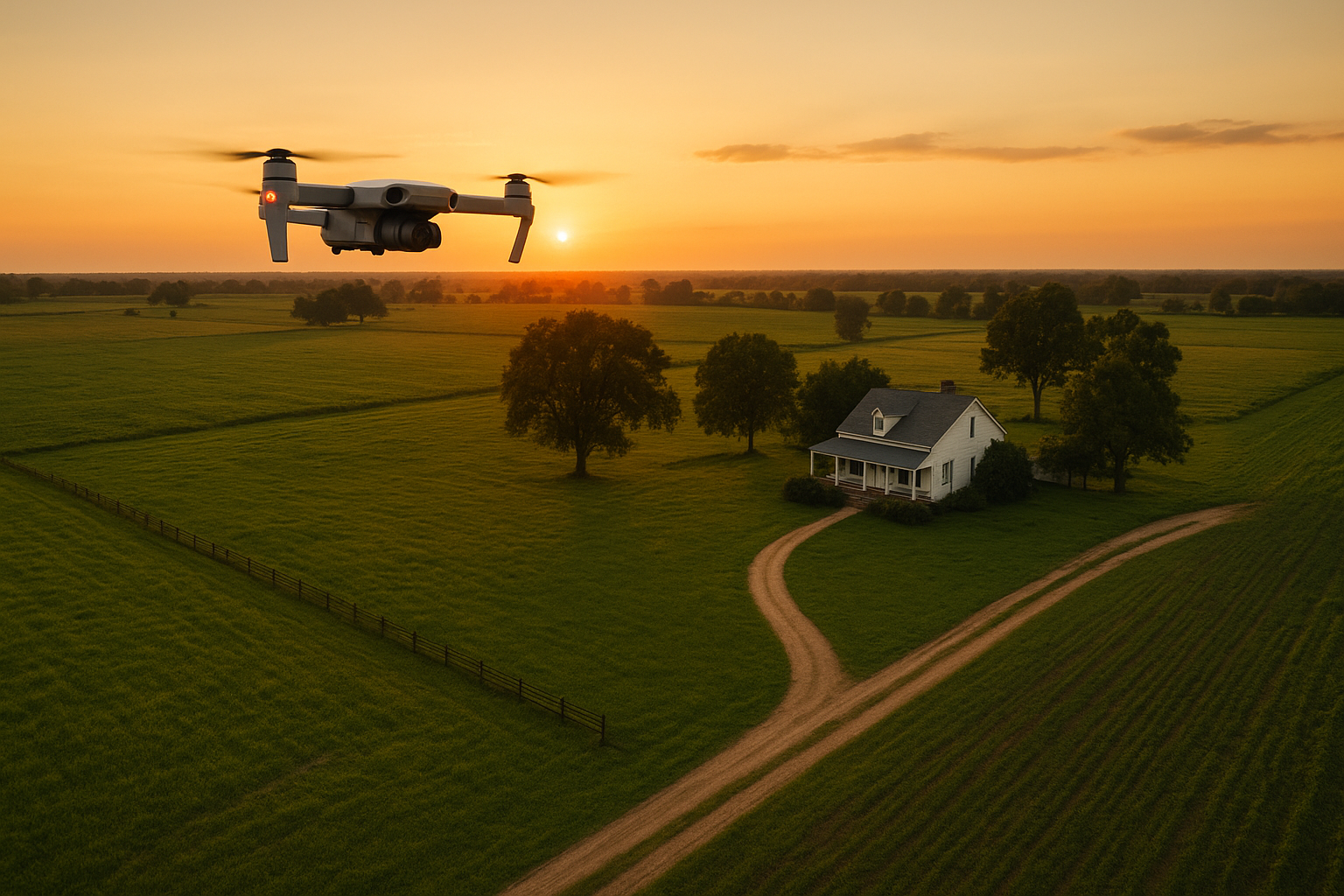
An aerial photography drone captures full-property context that ground cameras cannot reach.
What Is an Aerial Photography Drone?
An aerial photography drone is a remotely piloted aircraft equipped with a stabilized, high-resolution camera that captures still images and video from elevated vantage points. It gives businesses and property professionals angles that ground-based cameras simply cannot reach, such as full rooftop views, property boundaries, or wide construction sites in a single frame.
In practical terms, most commercial units are small four-rotor aircraft, often called quadcopters, that carry a gimbal-mounted camera for smooth, shake-free footage. According to the Wikipedia overview of unmanned aerial vehicles, this category of aircraft has expanded rapidly into commercial photography, agriculture, and inspection work over the past decade. Because these aircraft fly in shared airspace, however, commercial operators in the United States must follow rules set by the Federal Aviation Administration, including pilot certification and altitude limits.
Consequently, a properly licensed aerial photography drone operator is not just a hobbyist with a camera. They understand airspace rules, weather limits, and how to plan a flight path that protects both the equipment and everyone on the ground below.
How Aerial Photography Drone Sessions Work
Most sessions follow a predictable sequence, whether the goal is a real estate listing, a construction update, or wedding coverage. Below is the general process a provider like Acadiana SkyShots follows from the first phone call to final delivery.
- Free Consultation and Goal Setting: The client calls to describe the property, project type, and desired outcome, and the provider discusses budget, timeline, and specific shots needed.
- Site Assessment and Flight Planning: The pilot reviews the location for airspace restrictions, obstacles, and weather conditions, then plans flight paths that capture the required angles safely.
- Drone Flight and Image Capture: A licensed operator flies the aerial photography drone according to FAA rules, capturing high resolution photos and video from multiple heights and angles.
- Editing and Delivery: Raw footage is color corrected, trimmed, and formatted for the intended use, then delivered digitally to the client within the agreed turnaround time.
For homeowners and agents preparing a property for its shoot, a little prep goes a long way. Simple steps like mowing the lawn, moving vehicles, and tidying outdoor areas can be found on the home preparation guide, which helps every aerial session look its best from the very first flight.
Who Relies on Aerial Drone Photography Across the Acadiana Area?
Aerial drone photography is not limited to one industry. In fact, the range of use cases is one of the biggest reasons demand has grown so quickly among businesses, property professionals, and individuals alike. Below are the most common applications seen in the Acadiana market.
Aerial Real Estate Photography for Faster Sales
Real estate agents use aerial real estate photography to show lot size, layout, and nearby amenities in a way that ground photos cannot match. Similarly, buyers researching homes online often spend more time on listings with strong visual coverage, which is why many agents now request an aerial pass as a standard part of their marketing package. You can review sample work on the examples page before booking a shoot.
Aerial Construction Support and Project Monitoring
Builders and contractors use aerial construction support to document project progress, track material inventory, and give stakeholders a clear visual timeline. Because a drone can survey a large site in minutes, teams save the time and cost of manual walkthroughs. In addition, this documentation often supports safety reviews and helps resolve disputes about work completed on a given date.
Aerial Inspections That Reduce Risk and Downtime
Roofing companies and insurance agents rely on aerial inspections to check roof condition, storm damage, or tower structures without ladders or scaffolding. As a result, inspections finish faster and with less disruption to the property. Learn more about how this service works on the dedicated aerial inspections page.
SceneScape 360, Hotels, Weddings, and Film Projects
Hotels and resorts often pair aerial footage with SceneScape 360, an immersive viewing format that lets guests explore a property before they book. Meanwhile, weddings and independent films use drone shots for sweeping establishing scenes that add production value without a large budget. Details on this specific offering are available on the SceneScape 360 page.
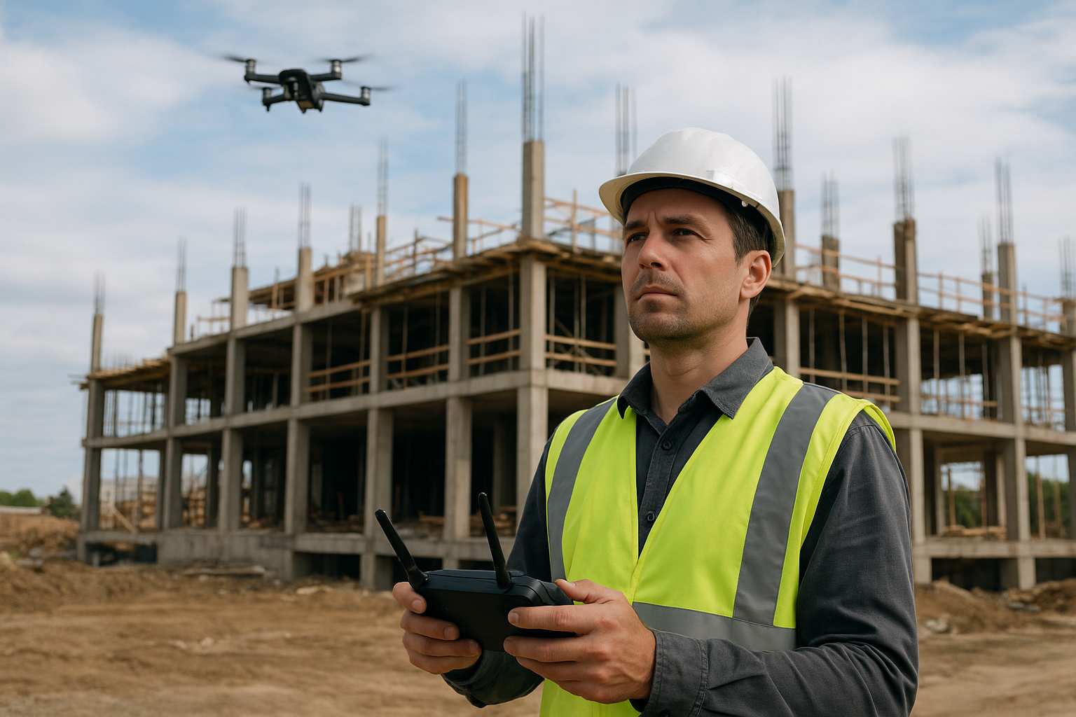
Construction teams use drone-based imagery to track progress and safety across a jobsite.
How Much Does Aerial Photography Drone Service Cost?
Pricing for aerial photography drone services depends on a handful of factors rather than a single flat rate. Property size, flight time, editing complexity, and how quickly you need the files all play a role. Below is a general breakdown of what typically affects cost.
| Factor | How It Affects Price |
|---|---|
| Property or site size | Larger sites need more flight time and battery swaps |
| Photo vs. video | Video generally takes longer to shoot and edit than stills |
| Editing complexity | Color grading, music, and titles add production time |
| Turnaround time | Rush delivery may carry a premium over standard timelines |
Because every project is different, the most reliable way to get an accurate number is a free consultation. During that call, a provider can review your specific goals and quote a price before any flight is scheduled.
How Long Does an Aerial Drone Photography Shoot Take?
A standard real estate or small business shoot usually takes 30 to 90 minutes on site, including setup, flight, and a quick review of captured shots. Larger jobs, such as multi-building commercial properties or full construction sites, can take longer since the pilot needs to cover more ground and swap batteries between flights. Editing and delivery then typically follow within a few business days, depending on the complexity of the final product.
Choosing the Right Aerial Photography Drone Provider
Not every drone operator offers the same level of skill, licensing, or customer service, so it helps to know what separates a solid provider from a risky one. First, confirm the pilot holds an FAA Remote Pilot Certificate and carries proper insurance. Second, ask to see a portfolio of past work that matches your project type, whether that is real estate, construction, or event coverage.
Acadiana SkyShots, based at 1714 Dublin St in New Iberia, Louisiana, is a member of the Sky Eye Network and provides professional drone-based aerial photography and videography for the Acadiana area, including Lafayette, Broussard, Patterson, Lake Charles, Jennings, Morgan City, Eunice, Opelousas, Sunset, Alexandria, and Baton Rouge. The company offers aerial real estate photography, aerial inspections, aerial construction support, SceneScape 360, and coverage for hotels, resorts, weddings, and independent film projects. Eligible realtors can also request a free aerial photo shoot as part of an ongoing offer. For pricing or scheduling, call (337) 352-6234 to book a free consultation, or visit acadianaskyshotsllc.com to review services and past work.
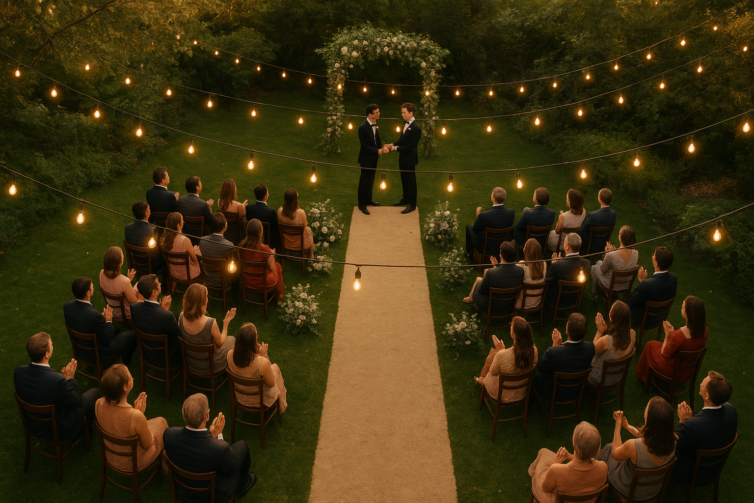
Weddings and independent films often use an aerial photography drone for sweeping establishing shots.
Frequently Asked Questions About Aerial Photography Drone Services
What is an aerial photography drone?
An aerial photography drone is a remotely piloted aircraft with a mounted camera that captures still images and video from above ground level. It gives photographers angles and coverage that ladders or handheld cameras cannot match.
How does aerial drone photography technology actually work?
A licensed pilot uses a handheld controller and mobile app to fly the drone along a planned route while a stabilized camera records footage. The images stream live so the operator can adjust angles, height, and framing in real time.
Why should a business choose an aerial photography drone over standard ground photography?
Aerial coverage shows scale, layout, and context that ground shots simply cannot capture, such as an entire property line or a full roof section. As a result, listings, inspection reports, and marketing videos tend to look more complete and professional.
How much does aerial photography drone service cost?
Pricing depends on property size, flight time, editing needs, and delivery format, so costs vary from project to project. Most providers offer a free consultation to review the job and provide a firm quote before booking.
How long does a typical aerial drone photography session take?
A standard real estate or business shoot usually takes 30 to 90 minutes on site, depending on the number of angles and shots requested. Larger construction sites or multi-building properties may take longer to cover thoroughly.
What is the difference between aerial photography drones and satellite or Google Maps imagery?
Satellite imagery is often outdated and low resolution, while a drone captures current, high-resolution images on the exact day of the shoot. This makes drone imagery far more useful for marketing, inspections, or progress tracking.
Can aerial photography drones be used for real estate listings?
Yes, aerial real estate photography is one of the most common uses of drone imagery, showing lot size, layout, and surrounding features in a single shot. According to National Association of Realtors research, listings with strong visual content tend to draw more buyer engagement online.
What mistakes should I avoid when hiring an aerial photography drone provider?
Common mistakes include hiring an unlicensed operator, skipping the site walkthrough, and not clarifying turnaround time before booking. It also helps to ask for sample footage so you know the editing quality in advance.
Is aerial drone photography legal in Louisiana?
Commercial drone photography is legal when the operator holds an FAA Remote Pilot Certificate and follows airspace rules. Reputable providers register their aircraft and check local restrictions before every flight.
What industries benefit most from aerial photography drone services?
Real estate, construction, hospitality, insurance, and event production all rely heavily on aerial imagery for marketing and documentation. Roofing and insurance professionals also use drones for fast, low-risk inspections.
What should I look for in an aerial photography drone company?
Look for FAA licensing, a portfolio of past work, clear pricing, and responsive communication about timelines. Membership in a recognized pilot network is an additional sign of accountability and quality control.
Do aerial photography drones work well for weddings and independent films?
Yes, drones add cinematic establishing shots and sweeping reveals that elevate wedding videos and independent film projects. Coordinating flight timing with the event schedule ensures the footage captures key moments without disruption.
What is SceneScape 360 and how does it relate to aerial photography drone services?
SceneScape 360 is an immersive imaging service that pairs with aerial photography drone footage to give viewers a full walkable or scrollable view of a property. It is especially useful for hotels, resorts, and larger commercial listings.
How are aerial inspections different from a standard property inspection?
Aerial inspections use a drone to photograph roofs, towers, or large structures without ladders, scaffolding, or foot traffic on the property. This reduces safety risk and often finishes faster than a manual inspection.
How do I schedule an aerial photography drone consultation with Acadiana SkyShots?
Call (337) 352-6234 to schedule a free consultation and describe your project, timeline, and location. Acadiana SkyShots serves New Iberia, Lafayette, Broussard, and the wider Acadiana area from its base at 1714 Dublin St.
Final Thoughts on Aerial Photography Drone Services
An aerial photography drone can reshape how a property, project, or event is presented, whether the goal is selling a house faster, documenting a jobsite, or adding cinematic scope to a wedding film. In particular, understanding the planning process, realistic costs, and typical timelines helps you set clear expectations before booking a session. Above all, choosing a licensed, experienced operator matters just as much as the equipment itself. If you are ready to see how aerial photography drone coverage can support your next project in the Acadiana area, call Acadiana SkyShots at (337) 352-6234 to schedule a free consultation today.


