

Drone photography has become one of the fastest ways for property professionals, builders, and business owners across Acadiana to capture stunning, high-resolution views from above. Whether you need eye-catching real estate photos, detailed aerial inspections, or footage of a big event, professional drone photography gives you a perspective ground-level cameras simply cannot match. Acadiana SkyShots, based in New Iberia, Louisiana, provides professional drone-based aerial photography and videography for businesses, property professionals, and individual projects throughout the region. This guide explains what drone photography is, how it works, what it costs, and how to choose the right provider for your next project.
Quick Answer: Drone photography is the use of camera-equipped unmanned aircraft to capture aerial photos and videos from vantage points ground-based cameras cannot reach. It is commonly used for real estate marketing, construction monitoring, inspections, weddings, and business promotion, with most sessions taking 30 minutes to a few hours.
What Is Drone Photography?
Drone photography is the practice of using a small unmanned aircraft, often called a UAV (unmanned aerial vehicle), to capture still images and video from above. Unlike a helicopter or a fixed-wing plane, a drone can hover close to a subject, fly at low altitude, and maneuver around obstacles safely. As a result, it captures details that traditional aerial photography often misses.
In practical terms, drone photography combines a stabilized camera, GPS positioning, and a trained pilot to produce sharp, well-composed shots. According to Wikipedia's overview of aerial photography, the field has evolved significantly since early balloon and kite-based cameras, and drones now represent one of the most accessible forms of aerial imaging available to businesses and individuals alike.
Why Aerial Photography and Videography Matter for Your Project
Aerial photography and videography give viewers context that ground photos cannot. For example, a single drone shot can show an entire property line, a roofline's condition, or how a construction site connects to surrounding infrastructure. In addition, video footage captured from the air often performs better on social media and listing pages because it holds viewer attention longer.
Real estate marketing is one clear example of this impact. The National Association of Realtors has noted that listings featuring high-quality visual media, including aerial content, tend to generate stronger buyer engagement than those with standard photos alone. Therefore, agents, builders, and business owners increasingly treat professional drone photography as a standard marketing tool rather than an optional upgrade. For a deeper look at how aerial imagery supports property marketing, see this guide to drone camera services for Acadiana property owners.
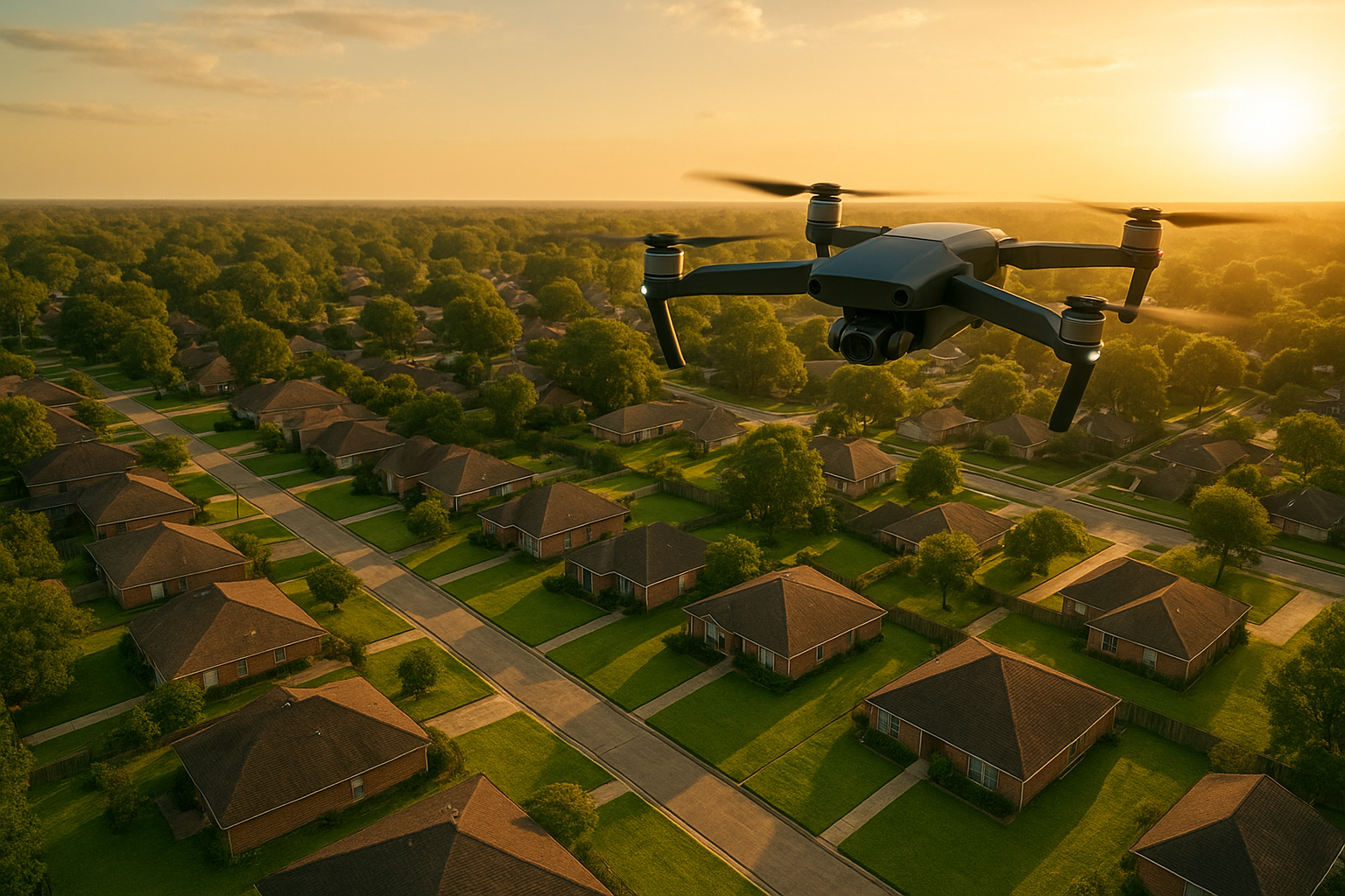
Drone photography reveals property details and surroundings that ground-level photos cannot capture.
Drone Photography Services Available in Acadiana
Acadiana SkyShots offers a range of services built around professional drone-based aerial photography and videography. Each service is tailored to a specific need, whether that is marketing a listing, monitoring a job site, or documenting a special occasion.
Aerial Real Estate Photography
Aerial real estate photography helps listings stand out by showing lot size, layout, and nearby amenities in a single, compelling image. Realtors can request a free aerial photo shoot through the current eligibility offer, and homeowners preparing to sell often benefit from the same service. For tips on selecting the right equipment for this purpose, see this guide to choosing the best drone for real estate photography.
Aerial Inspections
Aerial inspections reduce the need for ladders, scaffolding, or heavy equipment when checking roofs, gutters, or hard-to-reach structures. This approach improves safety and often delivers usable visual data faster than manual inspection methods. Insurance agents and roofing companies frequently rely on this service; learn more on the aerial inspections page.
Aerial Construction Support
Aerial construction support includes project monitoring, safety and inventory visibility, and surveying. Builders use regular aerial updates to track progress, document milestones, and spot potential issues before they become costly problems. Consequently, this service pairs well with ongoing project documentation needs.
Weddings, Films, and Special Events
Beyond business applications, drone photography also captures memorable moments at weddings and independent film projects. A sweeping aerial shot of a ceremony venue or a dramatic establishing shot for a film scene adds production value that is difficult to achieve otherwise.
SceneScape 360 and Hotels & Resorts
SceneScape 360 offers an immersive, interactive way to showcase a location, which works particularly well for hotels and resorts looking to give guests a virtual walkthrough before they book. This service complements traditional aerial photos and videos by adding an interactive layer to marketing materials.
How Does the Drone Photography Process Work?
Booking a session is straightforward, but understanding each step helps set clear expectations. Here is how a typical project unfolds from start to finish.
- Initial consultation: Discuss your goals, timeline, and location to determine the right drone photography package for your project.
- Flight planning: The pilot checks airspace, weather, and site access, then plans a flight path that meets FAA regulations.
- On-site capture: The drone captures high-resolution photos and video from multiple angles, covering the agreed scope of work.
- Quality review: Footage is reviewed to confirm coverage is complete before the crew leaves the site.
- Editing and delivery: Final photos and video are edited and delivered digitally within the agreed timeframe.
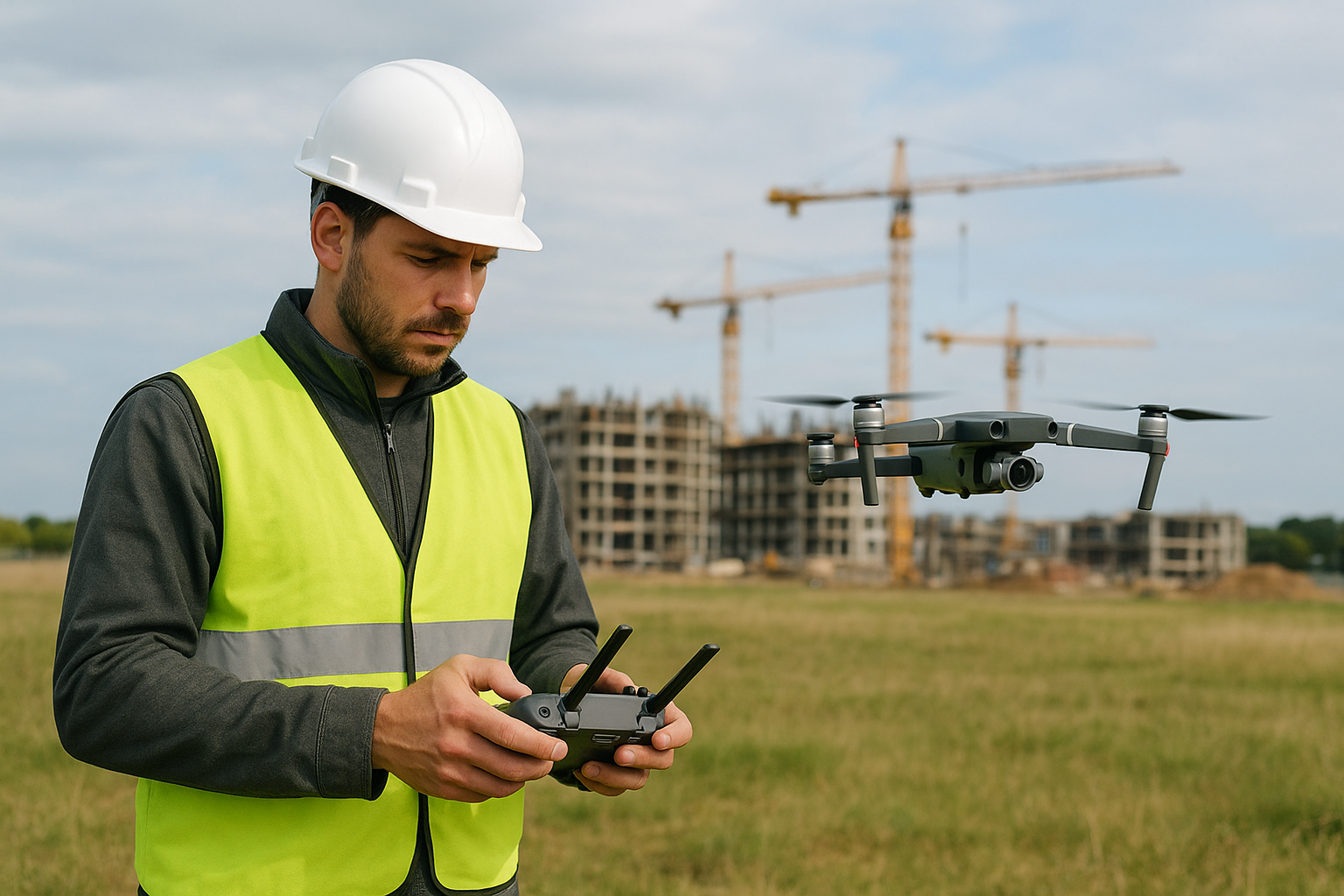
A structured process keeps every drone photography project efficient and consistent.
How Much Does Drone Photography Cost?
Pricing for drone photography varies based on project size, location, flight time, and deliverables such as photos, video, or 360-degree content. A quick residential real estate shoot typically costs less than a multi-hour construction documentation project with ongoing visits. Above all, the best way to get an accurate number is a direct conversation about your specific needs.
For a detailed breakdown of pricing factors and typical ranges, this aerial photography cost and uses guide covers common scenarios in more depth. Acadiana SkyShots offers a free consultation so you can get a clear, no-pressure estimate before committing to a project.
How Long Does a Drone Photography Session Take?
Most residential real estate sessions take between 30 and 60 minutes, including setup and a few flight passes. In contrast, larger commercial properties, construction sites, or events may require several hours, especially if multiple angles or video sequences are needed. Weather conditions, such as high wind or rain, can also affect scheduling.
Is Drone Photography Safe and Legal in Louisiana?
Yes, commercial drone photography is legal in Louisiana when the operator holds an FAA Part 107 remote pilot certificate and follows federal airspace rules. The Federal Aviation Administration's Part 107 certification requirements outline who can legally operate drones for business purposes and what restrictions apply near airports and populated areas.
According to FAA registration data, drone use in the United States has grown into the hundreds of thousands of registered aircraft, reflecting how common commercial and hobby drone operation has become. For this reason, verifying that any provider you hire is properly certified and insured matters just as much as evaluating their portfolio.
Choosing the Right Drone Photography Company in Acadiana
Not every drone photography provider offers the same quality or range of services. Acadiana SkyShots, located in New Iberia, Louisiana, is a member of the Sky Eye Network and provides professional drone-based aerial photography and videography across the Acadiana Area, including Lafayette, Broussard, Patterson, Lake Charles, Jennings, Morgan City, Eunice, Opelousas, Sunset, Alexandria, and Baton Rouge.
Specifically, the company focuses on competitive pricing, timely delivery, and responsive customer service for real estate agents, builders, roofing companies, insurance agents, homeowners, business owners, and car dealers. To see the full range of services offered in the New Iberia area, visit the aerial drone photography services page. If you are ready to discuss your project, call (337) 352-6234 or visit acadianaskyshotsllc.com to schedule a free consultation.
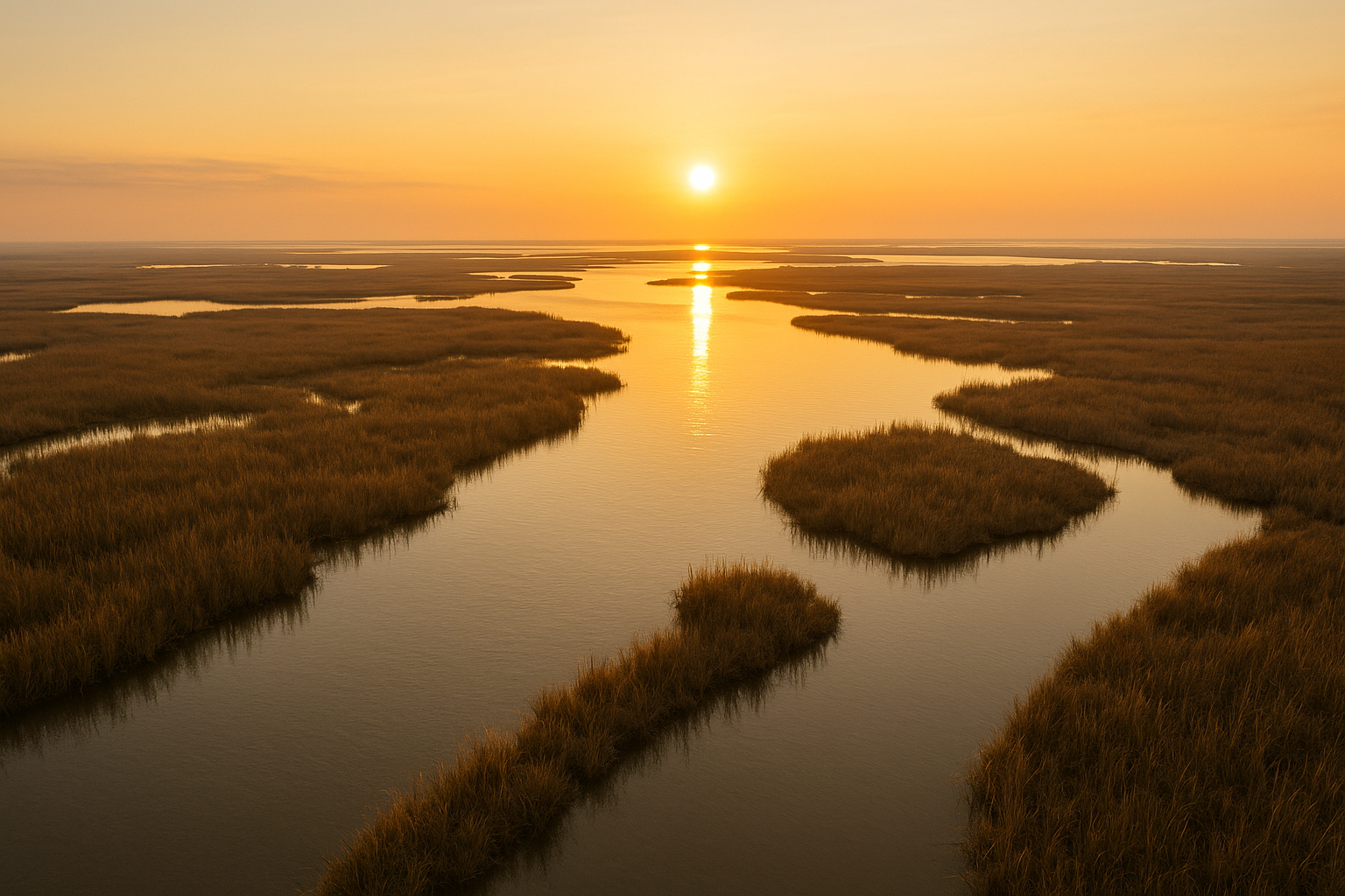
Scenic aerial shots like this show the range of drone photography across Acadiana's varied landscapes.
Frequently Asked Questions About Drone Photography
What is drone photography?
Drone photography is the practice of using a camera-equipped unmanned aircraft to capture still images and video from the air. It allows photographers to reach heights and angles that ladders or cranes cannot easily achieve.
How much does drone photography cost in Acadiana?
Pricing depends on project scope, location, and deliverables such as photos, video, or 360-degree content. Contact Acadiana SkyShots for a free consultation and a quote tailored to your project.
How long does a drone photography session take?
Most residential real estate sessions take 30 to 60 minutes, while larger commercial, construction, or event shoots may take a few hours. Weather and site access can also affect timing.
Is drone photography legal in Louisiana?
Yes, commercial drone photography is legal when operators hold an FAA Part 107 remote pilot certificate and follow federal airspace rules. Acadiana SkyShots operates in compliance with FAA regulations.
What is the difference between drone photography and traditional aerial photography?
Traditional aerial photography often requires manned aircraft like helicopters or planes, which is costly and less flexible. Drone photography uses smaller unmanned aircraft, making it more affordable and adaptable for low-altitude, detailed shots.
Can drone photography help sell a house faster?
Aerial real estate photography can make listings stand out by showing the property, lot size, and surrounding area clearly. Many agents report stronger engagement on listings featuring aerial imagery.
What areas does Acadiana SkyShots serve?
Acadiana SkyShots serves New Iberia, Lafayette, Broussard, Patterson, Lake Charles, Jennings, Morgan City, Eunice, Opelousas, Sunset, Alexandria, Baton Rouge, and the broader Acadiana Area in Louisiana.
Do I need to be present during the drone photography session?
Being present is not required, but it is helpful for discussing specific angles or priorities. For real estate or construction shoots, a brief walkthrough beforehand often improves results.
What is SceneScape 360?
SceneScape 360 is an immersive imaging service offered by Acadiana SkyShots that lets viewers explore a property or location interactively. It pairs well with hotels, resorts, and real estate marketing.
How does drone photography help with construction projects?
Aerial construction support provides project monitoring, safety visibility, and surveying data without disrupting work on the ground. Regular aerial updates help teams track progress and inventory over time.
What's the biggest mistake people make when hiring a drone photography company?
A common mistake is hiring an uninsured or uncertified operator, which can create legal and safety risks. Always confirm FAA certification and relevant experience before booking.
How do I schedule a drone photography session?
Call Acadiana SkyShots at (337) 352-6234 to discuss your project, timeline, and goals during a free consultation. The team will recommend the right service package for your needs.
Final Thoughts on Drone Photography in Acadiana
Drone photography gives businesses, property professionals, and individuals a practical way to showcase, inspect, and monitor what matters most, from a listing's curb appeal to a construction site's daily progress. In summary, understanding the process, costs, and legal requirements helps you plan a successful project from the start. Acadiana SkyShots, serving New Iberia and the broader Acadiana Area, combines professional drone-based aerial photography and videography with specialized services like aerial inspections, construction support, and SceneScape 360. If you are ready to see your property or project from a new perspective, call (337) 352-6234 or visit Acadiana SkyShots to schedule your free consultation today.


