

DJI drones are the aerial technology platform behind much of today's professional photography and videography work, including the drone services offered by Acadiana SkyShots in New Iberia, Louisiana. Whether you need stunning real estate visuals, a detailed inspection, or construction progress footage, understanding how these aircraft work can help you choose the right aerial photography provider for your project. In this guide, we will explain what DJI drones are, why they matter for aerial imaging, and how to select a professional operator across the Acadiana Area in Louisiana.
Quick answer: DJI drones are unmanned aerial vehicles made by DJI, a manufacturer widely recognized for dominating the consumer and professional camera drone market. They pair gimbal-stabilized cameras with GPS flight control, letting operators capture sharp, stable aerial photos and video for real estate, inspections, construction monitoring, and special events.
What Are DJI Drones?
DJI drones are unmanned aerial vehicles, often called UAVs, built by DJI, a company headquartered in Shenzhen, China. These aircraft combine a stabilized camera gimbal, GPS-guided navigation, and obstacle-sensing technology so pilots can hold a steady position while recording photos or video from the air. Consequently, the footage looks smooth even in light wind or while moving between angles.
According to industry research firm Drone Industry Insights, DJI accounts for more than 70 percent of the global consumer and prosumer drone market, a figure frequently cited across aerial imaging publications. As a result, most professional photography drones in use today, including those serving the Acadiana Area, are built on this same underlying technology. You can learn more about the company's background on Wikipedia's DJI overview.
Why Professional Photographers Choose DJI Drone Technology
Professional photographers rely on DJI drone technology for a few practical reasons. For example, modern DJI aircraft offer high dynamic range sensors that handle bright Louisiana sunlight and shaded tree lines in the same shot without blowing out highlights. In addition, built-in obstacle avoidance helps protect the aircraft near power lines, trees, and buildings, which matters for tighter residential and commercial lots.
Furthermore, longer battery life allows more shots per flight, which reduces downtime between setups. Specifically, this means a real estate shoot or a construction survey can move faster without sacrificing image quality. Acadiana SkyShots applies this same technology standard across every aerial photos and videos project, whether the client is a realtor, a builder, or a homeowner.
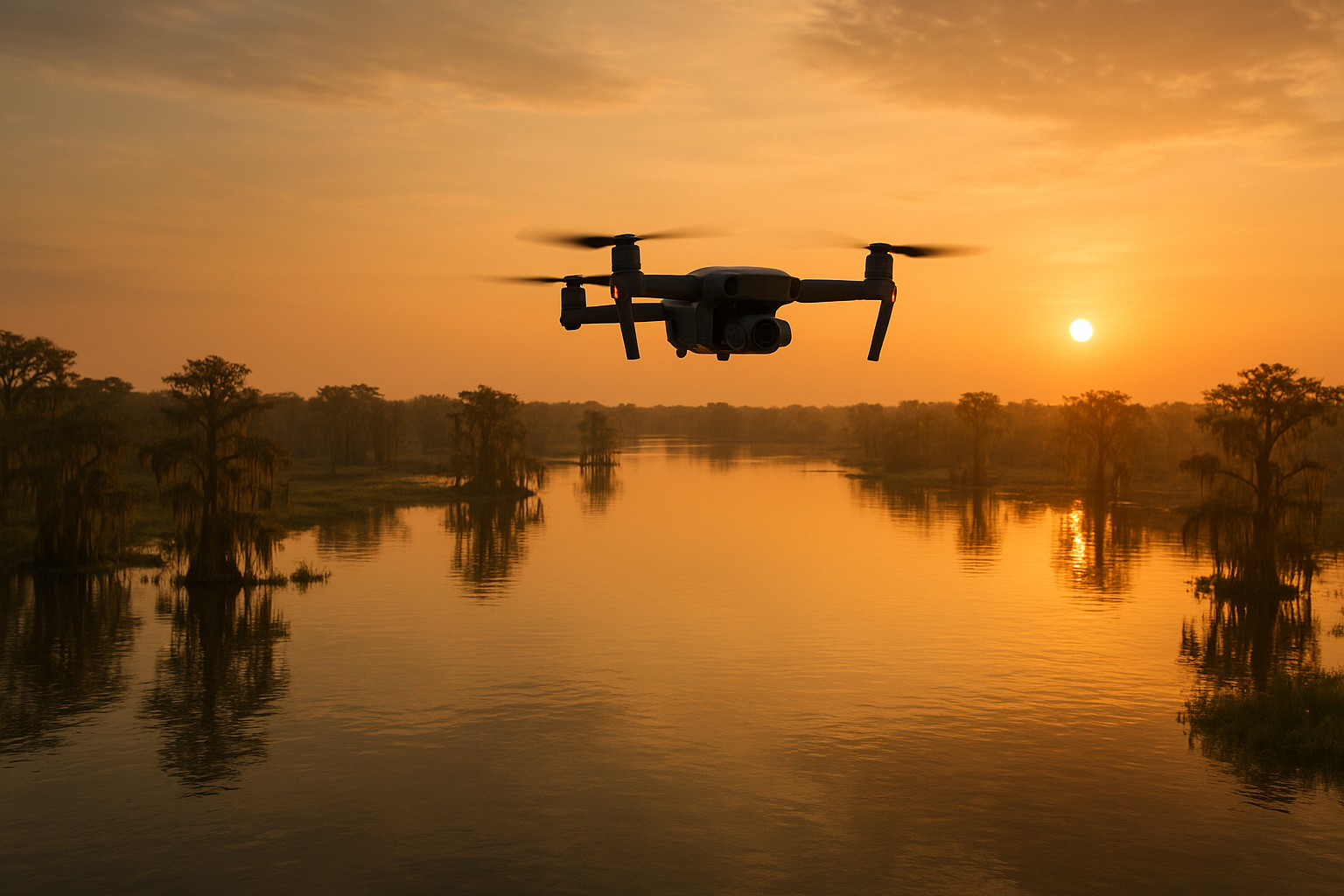
DJI drones can capture dramatic aerial perspectives of Louisiana landscapes, even in challenging lighting conditions.
How Camera Drones Power Aerial Photography Across Acadiana
Camera drones have reshaped how properties, businesses, and projects get marketed throughout the Acadiana Area in Louisiana. Acadiana SkyShots uses this equipment to deliver aerial real estate photography, business promotional visuals, wedding footage, and even footage for independent films. Because the aircraft can reach heights and angles unavailable from the ground, listings and promotional materials stand out more clearly to buyers and clients.
Similarly, realtors benefit from a dedicated offer that invites eligible agents to request a free aerial photo shoot, helping showcase listings with a competitive edge. If you want a deeper look at equipment choices for listing photography, see this guide to the best drones for real estate photography. Property owners exploring their options can also review this overview of drone camera services for Acadiana property owners.
Drone Technology Compared: DJI vs Traditional Aerial Equipment
Before drone technology became widely available, businesses relied on helicopters, cranes, or fixed-wing aircraft for aerial imagery. However, those options carry much higher costs and longer scheduling lead times. In contrast, DJI drones can launch within minutes, reach precise altitudes, and capture usable footage for a fraction of the price.
Likewise, compared to generic consumer drones, DJI aircraft typically offer better camera sensors and more dependable flight control software. Therefore, a professional operator flying DJI equipment can usually deliver sharper, more consistent results than a hobbyist using budget hardware. To compare local pricing and benefits directly, review this breakdown of drone services costs and benefits in New Iberia, LA.
How Drone Inspections Improve Safety and Efficiency
Aerial inspections are one of the most practical uses for this technology. Instead of sending a worker onto a roof, tower, or scaffold, a drone operator can capture the same visual data from a safe distance. As a result, inspection teams reduce fall-related risk while still gathering detailed images for insurance, maintenance, or safety reviews.
In particular, this approach also minimizes operational disruption, since inspections can often happen without shutting down equipment or closing off work areas. Acadiana SkyShots' aerial inspection services are built around this exact goal: safer, faster visual data collection for homeowners, insurance agents, and roofing companies across the region.
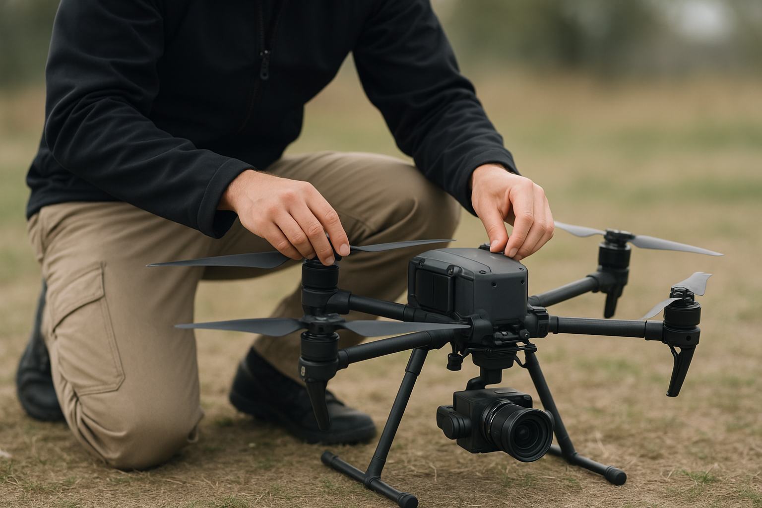
A thorough pre-flight check helps ensure a smooth, safe aerial photography session.
Steps to Plan a Successful DJI Drone Aerial Photography Session
Planning ahead makes a noticeable difference in the final results. Above all, following a clear process helps avoid wasted time and missed shots on the day of the flight.
- Define your project goals and location. Identify what you want to capture, whether it is a property listing, a construction site, a business, or a special event, and share the exact location with your drone operator.
- Check weather and flight conditions. Review wind speed, cloud cover, and lighting in advance, since calm, clear days typically produce the sharpest aerial photos and the most stable video footage.
- Confirm FAA compliance and site permissions. Make sure your operator holds an active FAA Part 107 remote pilot certificate and has verified any airspace restrictions for the location.
- Schedule the flight with a professional operator. Book a time window and request a shot list covering angles, heights, and features you want highlighted during the session.
- Review and select your final aerial images or footage. After the flight, review the deliverables with your provider and choose the final edits that match your marketing or documentation needs.
Is Commercial Drone Photography Legal in Louisiana?
Yes, commercial drone photography is legal in Louisiana and throughout the United States when the operator follows federal rules. Specifically, the Federal Aviation Administration requires commercial pilots to hold a Part 107 remote pilot certificate and to operate within approved airspace. You can review the official requirements directly on the FAA's drone regulation page.
Therefore, when hiring a provider, it is reasonable to ask whether the operator is certified and insured. Acadiana SkyShots states that it is a member of the Sky Eye Network, reflecting its involvement in the broader professional drone operator community. For background on how unmanned aircraft are classified and regulated, see this Wikipedia overview of unmanned aerial vehicles.
Choosing the Right Aerial Drone Photography Provider in Acadiana
Selecting a provider comes down to a few practical questions: how long will the project take, what will it cost, and how experienced is the operator with your specific type of job. For instance, a construction company monitoring progress needs different deliverables than a realtor marketing a listing or a couple documenting a wedding.
Acadiana SkyShots serves New Iberia, Lafayette, Broussard, Lake Charles, Morgan City, Opelousas, Baton Rouge, and surrounding communities, with additional projects considered depending on the job. For a broader look at pricing, equipment, and common uses, explore this aerial photography drone guide covering costs, uses, and tips. You can also visit the Acadiana SkyShots homepage to see the full range of services before reaching out.
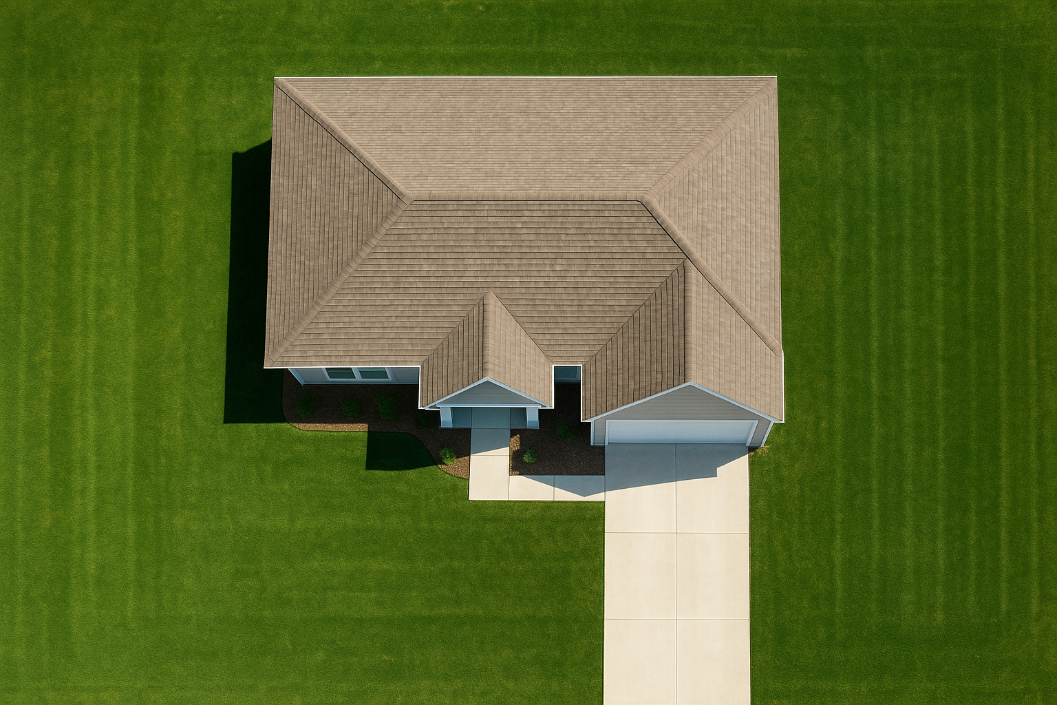
Aerial real estate photography gives buyers a clear view of a property's full layout and surroundings.
Ready to See Your Project From the Air?
Call Acadiana SkyShots at (337) 352-6234 to schedule a free consultation for your aerial photography, inspection, or construction support project.
Call (337) 352-6234Frequently Asked Questions About DJI Drones
What are DJI drones?
DJI drones are unmanned aerial vehicles made by DJI, a manufacturer widely recognized as the dominant maker of consumer and professional camera drones. They combine stabilized cameras, GPS flight control, and sensors to capture high-resolution aerial photos and video.
How do DJI drones work for aerial photography?
DJI drones use a gimbal-stabilized camera mounted beneath the aircraft to capture smooth, steady footage while flying. GPS positioning and obstacle sensors let the pilot control altitude, angle, and flight path precisely for consistent results.
Why do professional photographers prefer DJI drone technology?
Professionals favor DJI drone technology because of its reliable flight performance, high-resolution sensors, and strong safety features. As a result, operators can deliver sharper images with fewer failed flights compared to lower-end equipment.
How much does a drone photography session cost in Acadiana?
Pricing depends on project scope, location, and deliverables such as photos, video, or inspection data. Contact Acadiana SkyShots for a free consultation and a quote tailored to your specific project.
How long does a typical aerial photography flight take?
Most real estate or business sessions take between 30 minutes and two hours, depending on property size and shot list. Larger construction or inspection projects may require additional time for multiple flight passes.
What is the difference between DJI drones and other camera drones?
DJI drones are known for advanced stabilization, longer flight times, and dependable obstacle avoidance compared to many competing brands. In contrast, lesser-known drones often lack the same camera quality or safety redundancies.
Are DJI drones legal to fly for commercial aerial work?
Yes, commercial drone flights are legal in the United States when operated under Federal Aviation Administration Part 107 rules. Operators must hold a remote pilot certificate and follow airspace restrictions for every job.
What common mistakes should I avoid when hiring a drone photographer?
A common mistake is hiring an uninsured or unlicensed operator, which can create liability and legal issues. Another mistake is skipping a pre-flight consultation, which often leads to missed shots or unclear expectations.
Can DJI drones be used for construction site monitoring?
Yes, DJI drones are commonly used for aerial construction support, including project monitoring, surveying, and visual progress documentation. This approach reduces reliance on heavy equipment and improves site visibility over time.
What is SceneScape 360 and does it use drone technology?
SceneScape 360 is an immersive visual offering from Acadiana SkyShots that can incorporate aerial drone imagery alongside ground-level views. It helps businesses, hotels, and resorts showcase a property from multiple perspectives.
Do operators need a license to fly DJI drones commercially?
Yes, commercial operators in the United States must hold an FAA Part 107 remote pilot certificate. This requirement applies regardless of the drone brand or model being flown.
What should I look for in a professional drone photography provider?
Look for proper FAA certification, insurance, a strong portfolio, and clear communication about timelines and pricing. Above all, choose a provider who explains the process and answers your questions before booking.
How do aerial inspections with DJI drones improve safety?
Aerial inspections reduce the need for workers to climb roofs, towers, or scaffolding, which lowers fall-related risks. In addition, drone-captured visual data gives inspectors a clear record without disrupting daily operations.
Final Thoughts on DJI Drones for Aerial Photography
In summary, DJI drones remain the backbone of modern aerial photography and videography because of their reliability, image quality, and flight safety features. Whether you need aerial real estate photography, a safety inspection, construction progress monitoring, or footage for a wedding or film, this technology makes professional results accessible and efficient. Above all, working with a certified, experienced operator ensures the equipment is used safely and effectively for your specific project.
Acadiana SkyShots brings this drone technology to businesses, property professionals, and individuals across the Acadiana Area in Louisiana. Therefore, if you are ready to explore how DJI drones can support your next project, call (337) 352-6234 to schedule a free consultation and discuss your timeline and goals.


