Aerial photography and videography is the practice of capturing still images and moving footage from a drone flying above a property, job site, or event. Across the Acadiana Area in Louisiana, this service has become a practical tool rather than a novelty, helping real estate agents, builders, and business owners show their work from a vantage point ground cameras simply cannot reach. If you have ever wondered how much it costs, how long a shoot takes, or which industries benefit the most, this guide answers those questions directly before going deeper into the details.
Quick answer: Aerial photography and videography uses a licensed drone pilot to capture images and video from above, usually within one to two hours on site, with pricing based on project scope rather than a flat rate. Most Acadiana providers offer a free consultation to confirm cost and timing before booking.
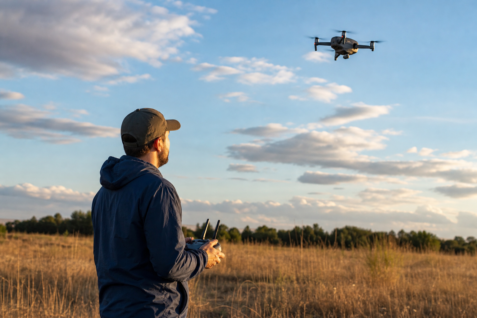
A licensed pilot preparing for an aerial photography and videography session.
What Is Aerial Photography and Videography?
Aerial photography and videography is the combined service of taking still photos and recording video from an elevated, remote-controlled camera, most often mounted on a drone. Unlike a ladder or crane shot, a drone can move smoothly through the air, circling a building, following a roofline, or pulling back to reveal an entire property boundary.
In practice, the two formats often get delivered together. A real estate client, for example, might receive a set of high-resolution photos for listing photos plus a short video walkthrough for social media. Similarly, a construction client might request weekly photo sets alongside a monthly progress video.
Because the equipment is relatively light and quiet compared to a helicopter, aerial photography and videography has become accessible for projects of almost any size, from a single-family home listing to a multi-acre industrial site.
How Much Does Aerial Photography and Videography Cost?
Cost is one of the two questions almost every caller asks first, and understandably so. In general, pricing depends on three factors: how long the shoot takes, how many locations or angles are needed, and whether professional editing is included in the final package.
A single-property real estate shoot with a handful of edited photos sits at the lower end of the pricing range. In contrast, a multi-day construction monitoring project with recurring visits, surveying support, and video progress reports naturally costs more because it requires ongoing scheduling and data management.
Specifically, pricing conversations usually cover:
- Number of locations or flight zones on the property
- Whether both photos and video are requested
- Turnaround time needed for edited deliverables
- Recurring visits for ongoing construction or inspection work
Because every project is different, the most reliable way to get an accurate number is through a free consultation, where the scope gets discussed before any quote is given.
How Long Does a Drone Photography and Video Session Take?
Timing is the second question that comes up in nearly every inquiry. For most single-property real estate or business shoots, the on-site portion typically takes between thirty minutes and two hours, depending on how many angles and features need to be captured.
After the flight, editing and delivery generally happen within a few business days. Larger construction or surveying projects, however, often involve recurring visits spread across weeks or months, since the goal is to track change over time rather than capture a single moment.
Weather also plays a role. Wind, rain, or low visibility can push a flight to a backup date for safety reasons, so building a flexible scheduling window into the plan helps avoid last-minute surprises.
Choosing Aerial Photography and Videography by Project Type
Not every project needs the same approach. The right mix of photos, video, and follow-up visits depends heavily on who is using the footage and why. Below is how four common client types typically use aerial imaging services.
Real Estate Agents and Property Professionals
Aerial real estate photography shows lot size, landscaping, and nearby amenities in a way interior shots cannot. According to a widely cited industry survey referenced by real estate trade publications, a majority of home sellers say they are more likely to choose an agent who offers drone imagery for listings. That preference alone makes aerial photos a practical differentiator in a competitive market.
Builders and Contractors
Aerial construction support gives project managers a bird's-eye record of site progress, material stockpiles, and layout accuracy. This includes project monitoring, safety and inventory visibility, and surveying support, which reduces how often crews need to climb scaffolding or operate heavy equipment just to get a visual check.
Roofing and Insurance Professionals
Aerial inspections can document roof conditions or storm damage from angles that are otherwise difficult and sometimes unsafe to reach. While aerial imagery cannot replace a full inspection report, it provides useful supporting visual data for repair estimates and documentation.
Businesses, Hotels, and Special Events
Business owners, hotels, and resorts use aerial footage for marketing videos and promotional photography. Likewise, weddings and independent films benefit from sweeping establishing shots that are difficult to capture any other way. For an immersive alternative, SceneScape 360 style imaging gives viewers an interactive view of a venue or property.
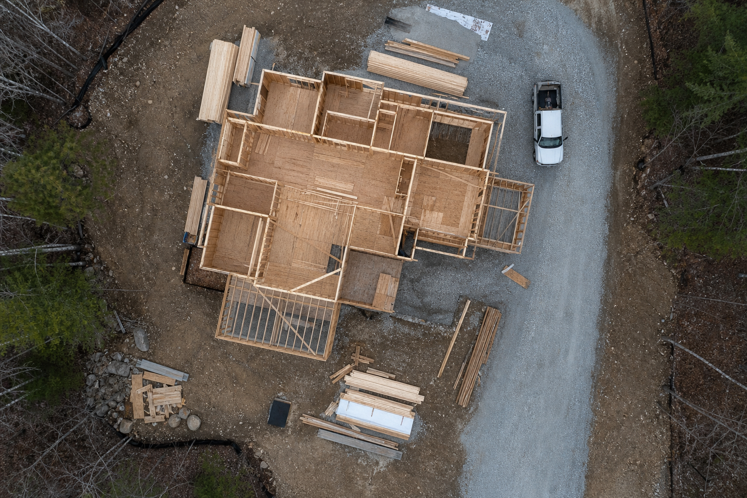
Aerial construction support helps track progress without extra site disruption.
How to Book an Aerial Photography and Videography Session
Booking a session is more straightforward than most first-time clients expect. The process generally follows five steps from initial inquiry to final delivery.
- Request a free consultation. Discuss project goals, location, timeline, and budget with the provider before any flight gets scheduled.
- Confirm site details and access. Share the address, access restrictions, and the specific angles you want so the pilot can plan an efficient flight path.
- Schedule the flight window. Agree on a primary date plus a flexible backup, since wind and visibility can require rescheduling for safety.
- Complete the on-site shoot. A licensed pilot captures the agreed photos or footage, typically finishing most sessions within one to two hours.
- Receive edited deliverables. Review the finished photos or video files, usually delivered within a few business days.
Every commercial drone flight in the United States also falls under Federal Aviation Administration Part 107 rules, which is a certification that governs altitude limits, airspace restrictions, and pilot qualifications. Working with a certified operator means these rules get handled on your behalf.
Common Mistakes to Avoid When Hiring an Aerial Imaging Provider
Even a simple project can run into trouble if a few basics get skipped. Hiring an uncertified operator is one of the most frequent mistakes, since it can lead to flights that violate local airspace restrictions near airports or crowded areas.
Another common issue is unclear expectations about deliverables. Some clients assume they will receive raw footage, while the provider planned to deliver only edited highlights. As a result, clarifying this detail during the consultation saves time later.
Finally, waiting until the last minute to book can limit scheduling flexibility, especially around weather-sensitive seasons. Booking one to two weeks ahead for standard shoots, and earlier for larger construction projects, generally leads to a smoother experience.
Why Choose a Local Acadiana Provider for Aerial Photography and Videography
Acadiana SkyShots, based in New Iberia, Louisiana, offers professional drone-based aerial photography and videography across the Acadiana Area, including Lafayette, Broussard, Patterson, Lake Charles, Jennings, Morgan City, Eunice, Opelousas, Sunset, Alexandria, and Baton Rouge. As a member of the Sky Eye Network, the company connects with a broader group of certified drone operators, which supports consistent quality standards and professional coverage.
Beyond standard aerial photos and videos, the company's offerings include aerial inspections, aerial real estate photography, aerial construction support, SceneScape 360 immersive imaging, and services tailored for hotels and resorts. Eligible realtors can also request a free aerial photo shoot, which is a practical way to test the service before committing to a larger package.
For more background on equipment, planning, and general industry pricing, the Wikipedia overview of aerial photography offers helpful historical and technical context, while the related guide on aerial photography drone costs, uses, and tips expands on pricing factors in more detail.
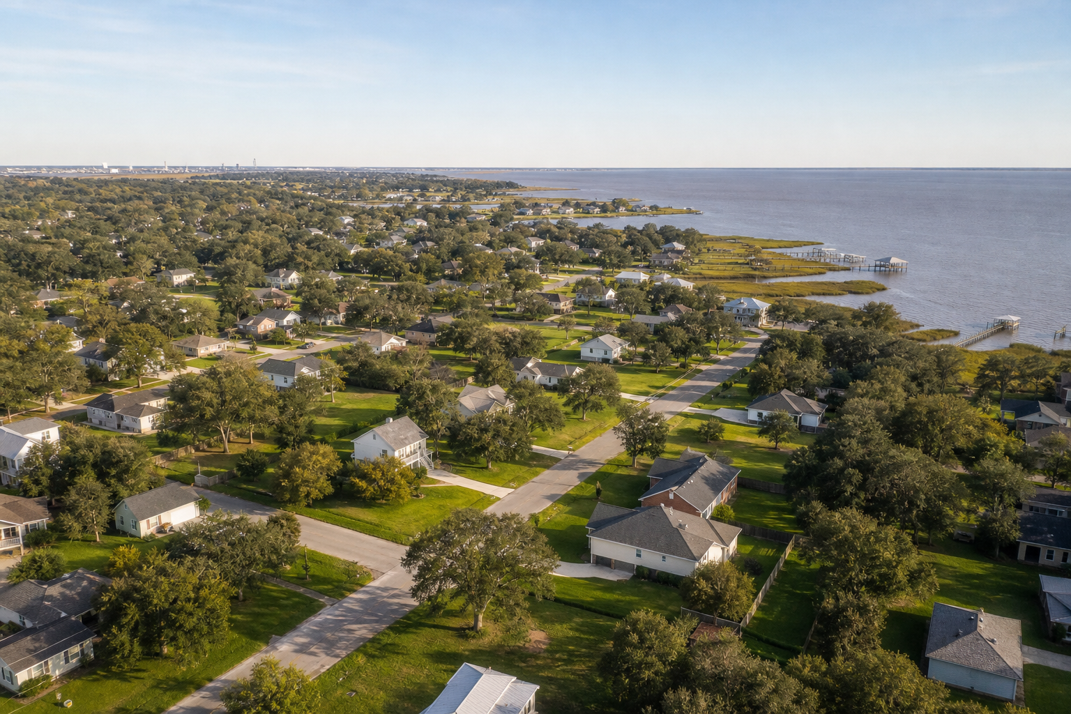
Aerial photography and videography gives buyers a clear view of a property's surroundings.
Where to Learn More and Get Started
If you are weighing options for a specific property or job site, it often helps to compare service types side by side. The overview of aerial drone photography services in New Iberia breaks down what each package typically includes, while the dedicated page on aerial construction support focuses specifically on builder and contractor needs.
For readers newer to the topic, the post on drone photography services in New Iberia, Louisiana covers the basics of how local service areas and pricing structures typically work. Additionally, general certification requirements for commercial pilots are outlined by the FAA's commercial operator resources, which is useful background for anyone vetting a provider.
You can also visit the Acadiana SkyShots homepage directly to review current service offerings and request a free consultation for your own project.
Frequently Asked Questions
What is aerial photography and videography?
Aerial photography and videography is the process of capturing still images and video footage from a drone or other elevated platform. It gives viewers a vantage point that ground-level cameras cannot achieve, which is useful for real estate, construction, events, and business marketing.
How much does aerial photography and videography cost?
Pricing for aerial photography and videography typically depends on project size, the number of locations, and whether video editing is included. A short residential real estate shoot generally costs less than a multi-day construction monitoring package.
How long does a drone photography session take?
Most single-property sessions take between thirty minutes and two hours on site, depending on the number of angles needed. Editing and delivery usually happen within a few business days after the shoot.
Is aerial photography and videography legal everywhere in Louisiana?
Commercial drone operations must follow Federal Aviation Administration Part 107 rules, which govern altitude, airspace, and pilot certification. A licensed operator checks local airspace restrictions before every flight to stay compliant.
What is the difference between aerial photography and aerial videography?
Aerial photography captures still images, while aerial videography records moving footage, often with smooth camera movement. Many projects combine both to cover marketing, documentation, and storytelling needs in one visit.
Why do real estate agents use aerial photography and videography?
Aerial images show a property's lot size, layout, and surroundings in a way ground photos cannot. As a result, listings with aerial visuals tend to attract more attention from potential buyers browsing online.
Can drones be used for construction progress monitoring?
Yes, aerial construction support allows builders to document site progress, track material inventory, and support surveying without constantly sending crews into active work zones. This improves safety and reduces reliance on heavy equipment for visual checks.
What should I prepare before booking an aerial shoot?
Share the property address, the goals of the shoot, and any access restrictions ahead of time. Providing this information in advance helps the pilot plan the flight path and deliver the right shots on the first visit.
What common mistakes do clients make when hiring aerial photography services?
A frequent mistake is hiring an unlicensed operator who is unfamiliar with local airspace rules, which can delay or cancel a shoot. Another is not clarifying deliverables upfront, such as raw files versus fully edited video.
Does weather affect aerial photography and videography scheduling?
Yes, wind, rain, and low visibility can delay a flight for safety reasons. Most providers build flexible scheduling windows into their timelines to account for Louisiana's variable weather.
Can aerial photography help with insurance claims or inspections?
Aerial inspections can document roof conditions, storm damage, or property features from angles that are difficult and sometimes unsafe to reach on foot. This visual record can support insurance documentation alongside other required evidence.
What industries benefit most from aerial photography and videography?
Real estate, construction, hospitality, and event planning are among the biggest users of aerial imagery. Businesses also use it for marketing, site overviews, and promotional video content.
Do I need a free consultation before scheduling a drone shoot?
A free consultation helps clarify the scope, timeline, and budget before any flight is scheduled. It also gives the provider a chance to flag any site-specific airspace or access concerns in advance.
How far in advance should I book aerial photography and videography?
Booking one to two weeks ahead is usually enough for standard real estate or business shoots. Larger projects, such as multi-day construction monitoring, benefit from earlier planning to align with weather windows and site schedules.
In summary, aerial photography and videography gives real estate agents, builders, roofing and insurance professionals, and business owners a practical way to showcase, inspect, and monitor what matters most, usually within a short on-site timeframe and a cost shaped by project scope rather than a flat fee. Whether the goal is a stronger real estate listing, safer construction monitoring, or standout marketing footage for a hotel or event, getting clear on budget and timeline upfront leads to a smoother project. Acadiana SkyShots, located at 1714 Dublin St, New Iberia, LA 70563, offers a free consultation to help plan the right aerial photography and videography approach for your project. Call (337) 352-6234 to discuss your goals, timeline, and budget.